Tlaxcala night lights from space
Night Light of Tlaxcala from space (Mexico) Src. Average luminocity for 10x10km area is 84.4855% and for 50x50km: 41.3544%.
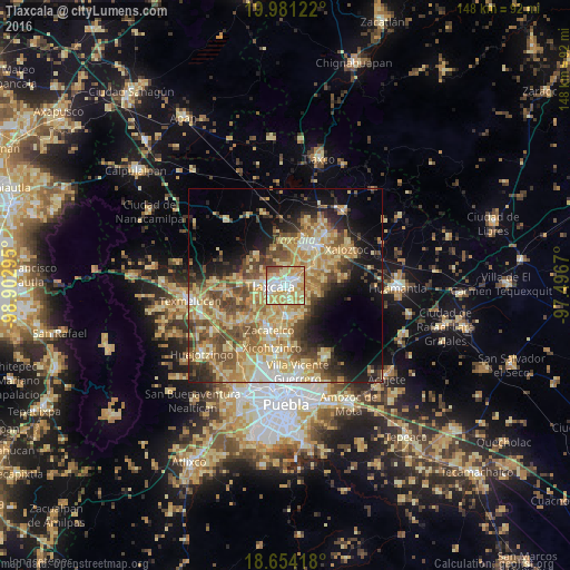
Analysis of Tlaxcala night lights 2016
Square area 10x10 km:
 16.53%
90-99
19.63%80-89
30.37%70-79
22.11%60-69
4.75%50-59
4.34%40-49
2.27%30-39
0%20-29
0%10-19
0%0-9
0%Square area 50x50 km:
2.94%90-99
4.68%80-89
12.47%70-79
8.77%60-69
7.22%50-59
6.25%40-49
7.65%30-39
4.4%20-29
5.59%10-19
10.79%0-9
29.24%Clear (daylight) street map image can be seen on geolist.org.
Map coordinates:
19° 58' 52.4" North, 98° 54' 10.6" West
19° 19' 8.6" North, 98° 11' 59.4" West
18° 39' 15" North, 97° 29' 48.1" West
Some cities around Tlaxcala sort by population:
• Santa Ana Chiautempan
1.9 km =1.2 mi,  137°
137°
• Contla
3.7 km =2.3 mi,  71°
71°
• La Magdalena Tlaltelulco
4 km =2.5 mi,  174°
174°
• Amaxac de Guerrero
4.3 km =2.7 mi,  45°
45°
• Apetatitlán Antonio Carbajal
2.9 km =1.8 mi, 48°
• Totolac
6.2 km =3.9 mi,  276°
276°
• San Esteban Tizatlán
2.7 km =1.7 mi,  326°
326°
• Santa María Ixtulco
1.1 km =0.7 mi,  307°
307°
3815415 (p: 84,670)
Sources (retrieved 2019-11-25):
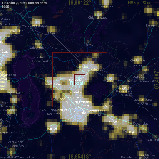
» NASA, Earths city lights 1995
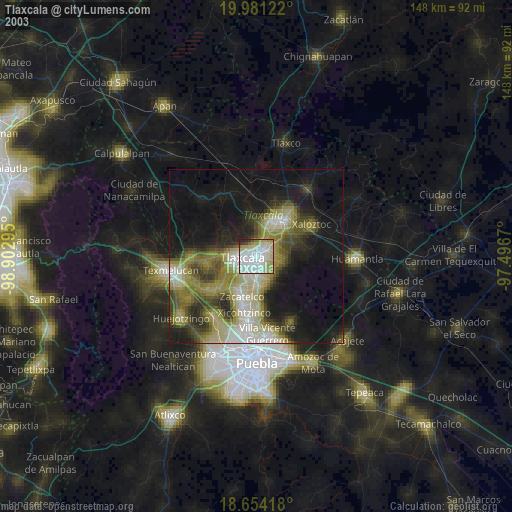
» NASA city lights 2003
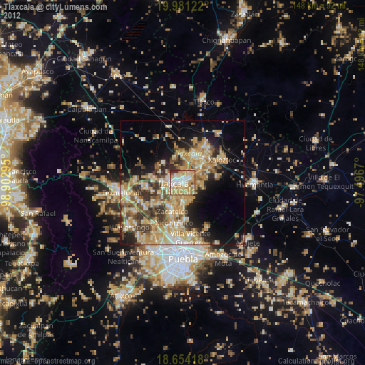
» Earth at Night: Flat Maps 2012, 2016