Contla night lights from space
Night Light of Contla (Tlaxcala) from space (Mexico) Src. Average luminocity for 10x10km area is 80.7417% and for 50x50km: 38.418%.
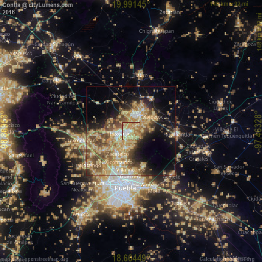
Analysis of Contla night lights 2016
Square area 10x10 km:
 9.5%
9.5%90-99
11.36%80-89
34.3%70-79
23.97%60-69
17.15%50-59
2.69%40-49
1.03%30-39
0%20-29
0%10-19
0%0-9
0%Square area 50x50 km:
2.36%90-99
3.96%80-89
11.75%70-79
8.4%60-69
6.8%50-59
5.86%40-49
7.14%30-39
3.88%20-29
5.1%10-19
11.44%0-9
33.33%Clear (daylight) street map image can be seen on geolist.org.
Map coordinates:
19° 59' 29.2" North, 98° 52' 10.3" West
19° 19' 45.6" North, 98° 9' 59" West
18° 39' 52.2" North, 97° 27' 47.8" West
Some cities around Contla sort by population:
• Tlaxcala
3.7 km =2.3 mi,  251°
251°
• Santa Ana Chiautempan
3.4 km =2.1 mi,  221°
221°
• La Magdalena Tlaltelulco
6 km =3.7 mi,  211°
211°
• Amaxac de Guerrero
2 km =1.2 mi,  347°
347°
• Apetatitlán Antonio Carbajal
1.5 km =0.9 mi,  299°
299°
• San Esteban Tizatlán
5.1 km =3.2 mi,  282°
282°
• San Miguel Contla
5 km =3.1 mi,  45°
45°
• Santa María Ixtulco
4.4 km =2.7 mi,  264°
264°
3530276 (p: 27,610)
Sources (retrieved 2019-11-25):
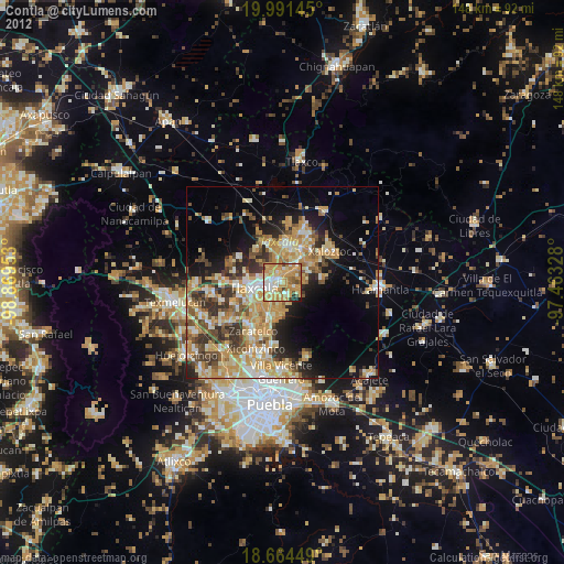
» Earth at Night: Flat Maps 2012, 2016