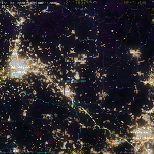
Tequisquiapan night lights from space
Night Light of Tequisquiapan (Querétaro) from space (Mexico) Src. Average luminocity for 10x10km area is 31.0455% and for 50x50km: 18.3554%.
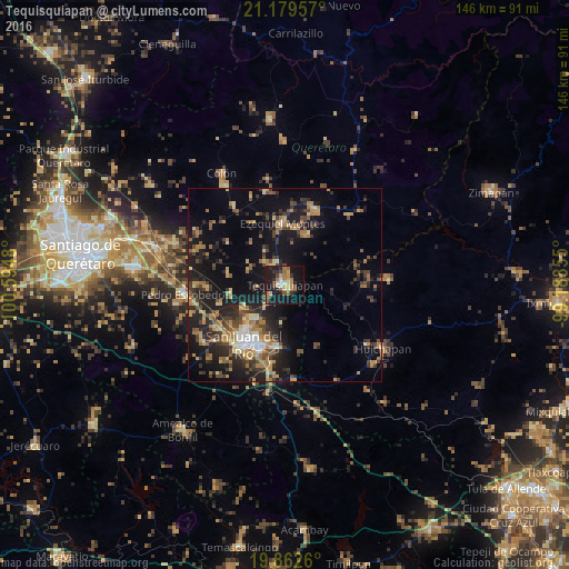
Analysis of Tequisquiapan night lights 2016
Square area 10x10 km:
 1.52%
1.52%90-99
2.46%80-89
5.87%70-79
4.73%60-69
6.44%50-59
4.17%40-49
5.68%30-39
4.92%20-29
6.25%10-19
38.83%0-9
19.13%Square area 50x50 km:
0.85%90-99
1.34%80-89
2.61%70-79
2.59%60-69
3.9%50-59
2.04%40-49
3.8%30-39
3.9%20-29
6.56%10-19
15.61%0-9
56.81%Clear (daylight) street map image can be seen on geolist.org.
Map coordinates:
21° 10' 46.5" North, 100° 35' 41.3" West
20° 31' 21" North, 99° 53' 30" West
19° 51' 45.4" North, 99° 11' 18.8" West
Some cities around Tequisquiapan sort by population:
• San Juan del Río
18.4 km =11.4 mi,  216°
216°
• Ezequiel Montes
15.8 km =9.8 mi,  357°
357°
• Cadereyta
20.9 km =13 mi,  22°
22°
• La Estancia
21.4 km =13.3 mi,  238°
238°
• Villa Progreso
14.6 km =9.1 mi, 23°
• La Valla
14.3 km =8.9 mi,  259°
259°
• San Nicolás
7 km =4.3 mi, 223°
• La Llave
12.3 km =7.6 mi, 239°
3515796 (p: 29,799)
Sources (retrieved 2019-11-25):
» Earth at Night: Flat Maps 2012, 2016