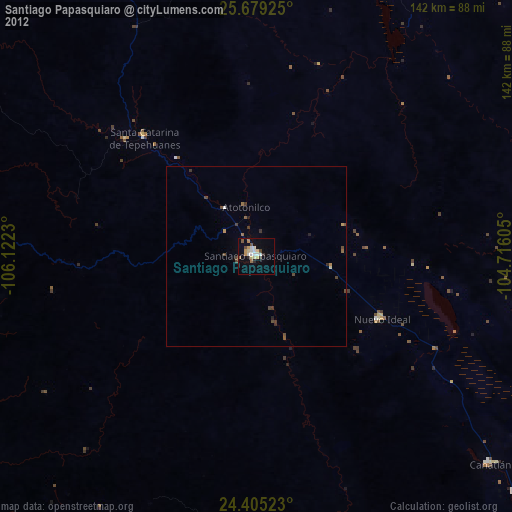
Santiago Papasquiaro night lights from space
Night Light of Santiago Papasquiaro (Durango) from space (Mexico) Src. Average luminocity for 10x10km area is 17.9242% and for 50x50km: 1.0642%.
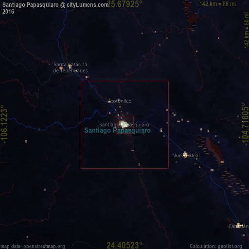
Analysis of Santiago Papasquiaro night lights 2016
Square area 10x10 km:
 2.27%
2.27%90-99
3.79%80-89
3.6%70-79
1.52%60-69
0.76%50-59
0.38%40-49
3.98%30-39
1.7%20-29
1.33%10-19
7.01%0-9
73.67%Square area 50x50 km:
0.09%90-99
0.15%80-89
0.15%70-79
0.08%60-69
0.08%50-59
0.09%40-49
0.27%30-39
0.24%20-29
0.27%10-19
0.35%0-9
98.23%Clear (daylight) street map image can be seen on geolist.org.
Map coordinates:
25° 40' 45.3" North, 106° 7' 20.3" West
25° 2' 38" North, 105° 25' 9" West
24° 24' 18.8" North, 104° 42' 57.8" West
Some cities around Santiago Papasquiaro sort by population:
• Victoria de Durango
137.4 km =85.4 mi,  145°
145°
• El Salto
140.9 km =87.6 mi,  177°
177°
• Canatlán
87 km =54.1 mi,  131°
131°
• Nuevo Ideal
38.9 km =24.2 mi,  116°
116°
• Cosalá
146.2 km =90.8 mi,  241°
241°
• Santa María del Oro
100.8 km =62.6 mi,  3°
3°
• Peñón Blanco
143.2 km =89 mi,  101°
101°
• Tayoltita
116.7 km =72.5 mi,  206°
206°
3983631 (p: 26,121)
Sources (retrieved 2019-11-25):
» Earth at Night: Flat Maps 2012, 2016