Peñón Blanco night lights from space
Night Light of Peñón Blanco (Durango) from space (Mexico) Src. Average luminocity for 10x10km area is 5.1837% and for 50x50km: 0.4303%.
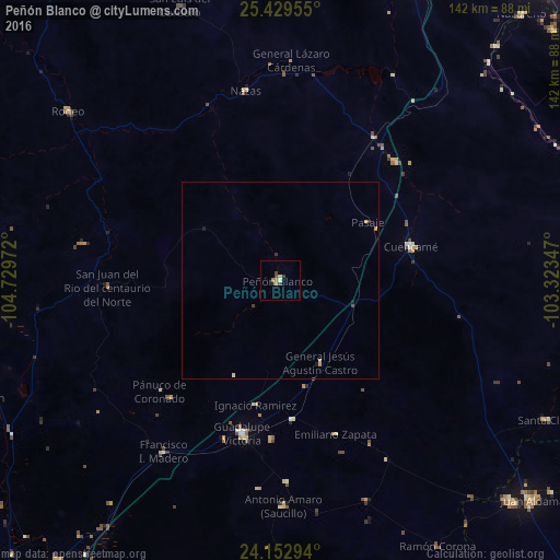
Analysis of Peñón Blanco night lights 2016
Square area 10x10 km:
 0%
0%90-99
0%80-89
2.08%70-79
0.95%60-69
0.76%50-59
0%40-49
2.27%30-39
0.95%20-29
0.57%10-19
0%0-9
92.42%Square area 50x50 km:
0%90-99
0.03%80-89
0.12%70-79
0.09%60-69
0.06%50-59
0%40-49
0.16%30-39
0.11%20-29
0.02%10-19
0.09%0-9
99.31%Clear (daylight) street map image can be seen on geolist.org.
Map coordinates:
25° 25' 46.4" North, 104° 43' 47" West
24° 47' 34.4" North, 104° 1' 35.7" West
24° 9' 10.6" North, 103° 19' 24.5" West
Some cities around Peñón Blanco sort by population:
• Ciudad Guadalupe Victoria
40 km =24.9 mi,  193°
193°
• Juan Aldama
84.9 km =52.8 mi,  130°
130°
• Miguel Auza
80.4 km =50 mi, 133°
• Canatlán
81.1 km =50.4 mi,  248°
248°
• Villa Unión
91 km =56.5 mi,  181°
181°
• Cuencamé de Ceniceros
34.3 km =21.3 mi,  75°
75°
• Nazareno
90.9 km =56.5 mi,  42°
42°
• Villa Juárez
89.1 km =55.4 mi,  29°
29°
3992967 (p: 5,271)
Sources (retrieved 2019-11-25):
» Earth at Night: Flat Maps 2012, 2016