El Salto night lights from space
Night Light of El Salto (Durango) from space (Mexico) Src. Average luminocity for 10x10km area is 10.7897% and for 50x50km: 0.7575%.
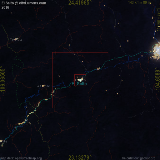
Analysis of El Salto night lights 2016
Square area 10x10 km:
 0%
0%90-99
2.18%80-89
4.96%70-79
0.79%60-69
0.79%50-59
0.6%40-49
0.6%30-39
1.19%20-29
0.79%10-19
0%0-9
88.1%Square area 50x50 km:
0%90-99
0.11%80-89
0.21%70-79
0.04%60-69
0.18%50-59
0.06%40-49
0.26%30-39
0.08%20-29
0.03%10-19
0.11%0-9
98.92%Clear (daylight) street map image can be seen on geolist.org.
Map coordinates:
24° 25' 10.7" North, 106° 3' 54.2" West
23° 46' 40.1" North, 105° 21' 42.9" West
23° 7' 58" North, 104° 39' 31.7" West
Some cities around El Salto sort by population:
• Victoria de Durango
76.5 km =47.5 mi,  69°
69°
• Escuinapa
113.3 km =70.4 mi,  202°
202°
• Pueblo Nuevo
44.4 km =27.6 mi,  182°
182°
• El Rosario
100.9 km =62.7 mi,  210°
210°
• Villa Unión
109.2 km =67.9 mi,  233°
233°
• Canatlán
102.4 km =63.6 mi,  35°
35°
• Concordia
90 km =55.9 mi, 232°
• Tayoltita
68.2 km =42.4 mi,  302°
302°
4007673 (p: 24,241)
Sources (retrieved 2019-11-25):
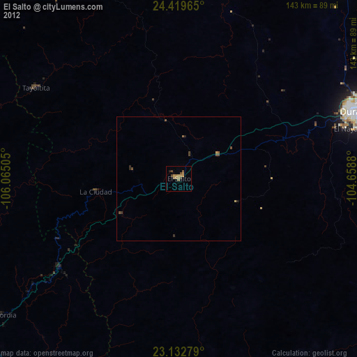
» Earth at Night: Flat Maps 2012, 2016