Tayoltita night lights from space
Night Light of Tayoltita (Durango) from space (Mexico) Src. Average luminocity for 10x10km area is 4.2803% and for 50x50km: 0.188%.
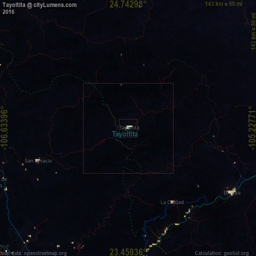
Analysis of Tayoltita night lights 2016
Square area 10x10 km:
 0.19%
0.19%90-99
1.33%80-89
0.95%70-79
0.57%60-69
0.76%50-59
0%40-49
0.76%30-39
0%20-29
0.76%10-19
0%0-9
94.7%Square area 50x50 km:
0.01%90-99
0.05%80-89
0.04%70-79
0.02%60-69
0.03%50-59
0%40-49
0.03%30-39
0.03%20-29
0.03%10-19
0%0-9
99.75%Clear (daylight) street map image can be seen on geolist.org.
Map coordinates:
24° 44' 34.7" North, 106° 38' 2.3" West
24° 6' 10" North, 105° 55' 51" West
23° 27' 33.7" North, 105° 13' 39.8" West
Some cities around Tayoltita sort by population:
• Mazatlán
108.2 km =67.2 mi,  206°
206°
• El Salto
68.2 km =42.4 mi,  122°
122°
• Pueblo Nuevo
97.9 km =60.8 mi,  145°
145°
• La Cruz
99.7 km =62 mi,  258°
258°
• Villa Unión
105.7 km =65.7 mi,  196°
196°
• Concordia
91.7 km =57 mi,  188°
188°
• Cosalá
84.5 km =52.5 mi,  294°
294°
• Fraccionamiento los Ángeles
109.5 km =68 mi, 201°
3982292 (p: 5,124)
Sources (retrieved 2019-11-25):
» Earth at Night: Flat Maps 2012, 2016