Santa María del Oro night lights from space
Night Light of Santa María del Oro (Durango) from space (Mexico) Src. Average luminocity for 10x10km area is 6.0258% and for 50x50km: 0.3928%.
Analysis of Santa María del Oro night lights 2016
Square area 10x10 km:
 0%
0%90-99
1.19%80-89
1.19%70-79
0.6%60-69
1.19%50-59
2.78%40-49
0.2%30-39
0%20-29
0.79%10-19
0%0-9
92.06%Square area 50x50 km:
0%90-99
0.05%80-89
0.05%70-79
0.05%60-69
0.08%50-59
0.16%40-49
0.08%30-39
0.03%20-29
0.06%10-19
0.09%0-9
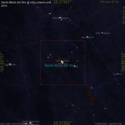
99.35%Clear (daylight) street map image can be seen on geolist.org.
Map coordinates:
26° 34' 47.9" North, 106° 4' 3.3" West
25° 56' 58" North, 105° 21' 52" West
25° 18' 55.9" North, 104° 39' 40.8" West
Some cities around Santa María del Oro sort by population:
• Parral
113.1 km =70.3 mi,  344°
344°
• José Mariano Jiménez
138.5 km =86.1 mi,  18°
18°
• Santiago Papasquiaro
100.8 km =62.6 mi,  183°
183°
• Canatlán
169.1 km =105.1 mi,  159°
159°
• Nuevo Ideal
121.8 km =75.7 mi,  166°
166°
• Bermejillo
174.5 km =108.4 mi,  92°
92°
• Guadalupe y Calvo
160.5 km =99.7 mi,  275°
275°
• Mapimí
152.4 km =94.7 mi, 94°
3984078 (p: 5,878)
Sources (retrieved 2019-11-25):
» Earth at Night: Flat Maps 2012, 2016