Santa María Atarasquillo night lights from space
Night Light of Santa María Atarasquillo (Morelos) from space (Mexico) Src. Average luminocity for 10x10km area is 51.8781% and for 50x50km: 50.8431%.
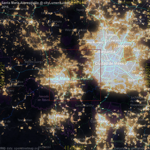
Analysis of Santa María Atarasquillo night lights 2016
Square area 10x10 km:
 1.03%
1.03%90-99
3.72%80-89
9.09%70-79
8.68%60-69
17.36%50-59
11.16%40-49
13.64%30-39
12.6%20-29
22.73%10-19
0%0-9
0%Square area 50x50 km:
10.1%90-99
6.69%80-89
8.18%70-79
9.62%60-69
11.21%50-59
6.34%40-49
6.98%30-39
5.56%20-29
9.88%10-19
11.37%0-9
14.08%Clear (daylight) street map image can be seen on geolist.org.
Map coordinates:
19° 59' 25.6" North, 100° 10' 19.6" West
19° 19' 41.9" North, 99° 28' 8.4" West
18° 39' 48.5" North, 98° 45' 57.1" West
Some cities around Santa María Atarasquillo sort by population:
• Ocoyoacac
6.4 km =4 mi,  169°
169°
• Lerma de Villada
6.3 km =3.9 mi,  225°
225°
• San Pedro Tultepec
8.2 km =5.1 mi,  211°
211°
• San Pedro Cholula
7.3 km =4.5 mi,  194°
194°
• San Pedro Chochula
7.4 km =4.6 mi, 193°
• El Cerrillo Vista Hermosa
7.7 km =4.8 mi,  265°
265°
• San Miguel Ameyalco
2.6 km =1.6 mi,  155°
155°
• San Mateo Atarasquíllo
1 km =0.6 mi,  126°
126°
3517284 (p: 13,769)
Sources (retrieved 2019-11-25):
» Earth at Night: Flat Maps 2012, 2016