Ocoyoacac night lights from space
Night Light of Ocoyoacac (México) from space (Mexico) Src. Average luminocity for 10x10km area is 58.4091% and for 50x50km: 48.0246%.
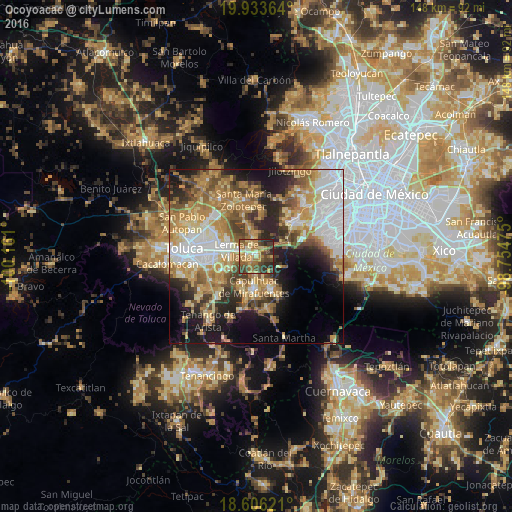
Analysis of Ocoyoacac night lights 2016
Square area 10x10 km:
 2.38%
2.38%90-99
5.63%80-89
12.55%70-79
11.26%60-69
19.26%50-59
9.31%40-49
15.15%30-39
14.29%20-29
10.17%10-19
0%0-9
0%Square area 50x50 km:
9.93%90-99
6.22%80-89
7.61%70-79
9.13%60-69
10.51%50-59
5.71%40-49
6.29%30-39
5.24%20-29
8.68%10-19
11.4%0-9
19.3%Clear (daylight) street map image can be seen on geolist.org.
Map coordinates:
19° 56' 1.1" North, 100° 9' 39.6" West
19° 16' 16.6" North, 99° 27' 28.3" West
18° 36' 22.4" North, 98° 45' 17.1" West
Some cities around Ocoyoacac sort by population:
• San Mateo Atenco
7.8 km =4.8 mi,  266°
266°
• Lerma de Villada
6 km =3.7 mi,  289°
289°
• Santa María Atarasquillo
6.4 km =4 mi,  349°
349°
• San Pedro Tultepec
5.4 km =3.4 mi,  262°
262°
• San Pedro Cholula
3.1 km =1.9 mi, 255°
• San Pedro Chochula
3.1 km =1.9 mi,  253°
253°
• San Miguel Ameyalco
4 km =2.5 mi,  358°
358°
• San Mateo Atarasquíllo
5.8 km =3.6 mi, 356°
3522445 (p: 26,015)
Sources (retrieved 2019-11-25):
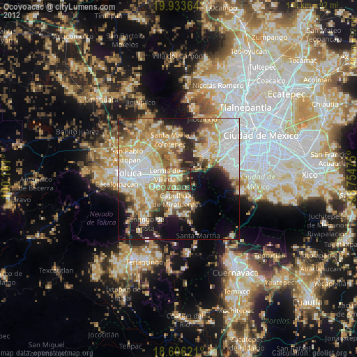
» Earth at Night: Flat Maps 2012, 2016