Sanctorum night lights from space
Night Light of Sanctorum (Puebla) from space (Mexico) Src. Average luminocity for 10x10km area is 95.974% and for 50x50km: 57.4311%.
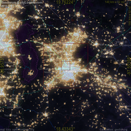
Analysis of Sanctorum night lights 2016
Square area 10x10 km:
 50.43%
90-99
30.09%80-89
16.23%70-79
3.25%60-69
0%50-59
0%40-49
0%30-39
0%20-29
0%10-19
0%0-9
0%Square area 50x50 km:
10.17%90-99
8.21%80-89
14.81%70-79
10.19%60-69
8.17%50-59
8.17%40-49
8.87%30-39
5.91%20-29
6.98%10-19
9.99%0-9
8.53%Clear (daylight) street map image can be seen on geolist.org.
Map coordinates:
19° 45' 44.1" North, 98° 57' 26.3" West
19° 5' 57" North, 98° 15' 15" West
18° 26' 0.3" North, 97° 33' 3.8" West
Some cities around Sanctorum sort by population:
• Cholula
6.5 km =4 mi,  233°
233°
• San Andrés Cholula
6.8 km =4.2 mi,  219°
219°
• Cuautlancingo
2.2 km =1.4 mi,  242°
242°
• Santiago Momoxpan
3.1 km =1.9 mi,  205°
205°
• Coronango
6 km =3.7 mi,  293°
293°
• Almecatla
5.2 km =3.2 mi,  21°
21°
• Tenancingo
7.7 km =4.8 mi,  46°
46°
• San Francisco Ocotlán
5 km =3.1 mi,  321°
321°
3519531 (p: 27,936)
Sources (retrieved 2019-11-25):
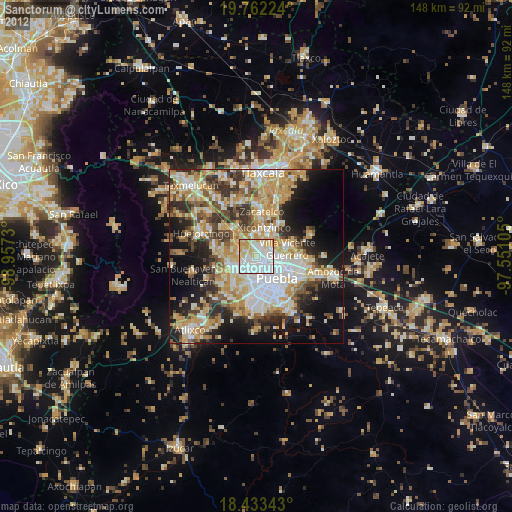
» Earth at Night: Flat Maps 2012, 2016