San Andrés Cholula night lights from space
Night Light of San Andrés Cholula (Puebla) from space (Mexico) Src. Average luminocity for 10x10km area is 92.7403% and for 50x50km: 52.616%.
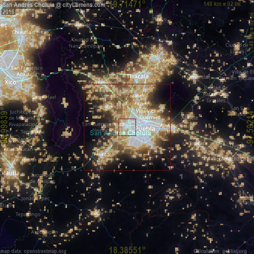
Analysis of San Andrés Cholula night lights 2016
Square area 10x10 km:
 40.69%
90-99
29%80-89
14.07%70-79
13.42%60-69
2.81%50-59
0%40-49
0%30-39
0%20-29
0%10-19
0%0-9
0%Square area 50x50 km:
9.49%90-99
7.39%80-89
13.05%70-79
9.08%60-69
7.35%50-59
7.54%40-49
7.7%30-39
5.7%20-29
6.93%10-19
11.37%0-9
14.41%Clear (daylight) street map image can be seen on geolist.org.
Map coordinates:
19° 42' 53" North, 98° 59' 54.2" West
19° 3' 5.2" North, 98° 17' 42.9" West
18° 23' 7.8" North, 97° 35' 31.7" West
Some cities around San Andrés Cholula sort by population:
• Cholula
1.7 km =1.1 mi,  328°
328°
• San Bernardino Tlaxcalancingo
3.2 km =2 mi,  142°
142°
• Sanctorum
6.8 km =4.2 mi,  39°
39°
• Cuautlancingo
4.9 km =3 mi,  28°
28°
• Santiago Momoxpan
3.9 km =2.4 mi,  50°
50°
• Coronango
7.8 km =4.8 mi,  351°
351°
• Zacapechpan
5.9 km =3.7 mi,  273°
273°
• Cuanalá
7.3 km =4.5 mi, 331°
3818742 (p: 39,964)
Sources (retrieved 2019-11-25):
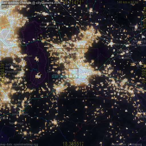
» Earth at Night: Flat Maps 2012, 2016