Cholula night lights from space
Night Light of Cholula (Puebla) from space (Mexico) Src. Average luminocity for 10x10km area is 89.7424% and for 50x50km: 53.8715%.
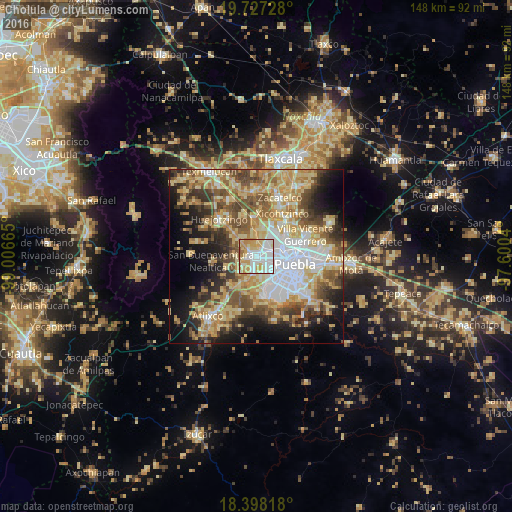
Analysis of Cholula night lights 2016
Square area 10x10 km:
 30.3%
30.3%90-99
29.22%80-89
14.94%70-79
18.61%60-69
5.84%50-59
1.08%40-49
0%30-39
0%20-29
0%10-19
0%0-9
0%Square area 50x50 km:
9.58%90-99
7.54%80-89
13.58%70-79
9.48%60-69
7.6%50-59
7.69%40-49
7.87%30-39
5.86%20-29
6.94%10-19
10.91%0-9
12.96%Clear (daylight) street map image can be seen on geolist.org.
Map coordinates:
19° 43' 38.2" North, 99° 0' 23.9" West
19° 3' 50.6" North, 98° 18' 12.7" West
18° 23' 53.4" North, 97° 36' 1.4" West
Some cities around Cholula sort by population:
• San Bernardino Tlaxcalancingo
4.8 km =3 mi,  144°
144°
• San Andrés Cholula
1.7 km =1.1 mi,  148°
148°
• Sanctorum
6.5 km =4 mi,  53°
53°
• Cuautlancingo
4.3 km =2.7 mi, 47°
• Santiago Momoxpan
4 km =2.5 mi,  74°
74°
• Coronango
6.3 km =3.9 mi,  357°
357°
• Zacapechpan
5.1 km =3.2 mi,  257°
257°
• Cuanalá
5.6 km =3.5 mi,  332°
332°
3530757 (p: 87,897)
Sources (retrieved 2019-11-25):
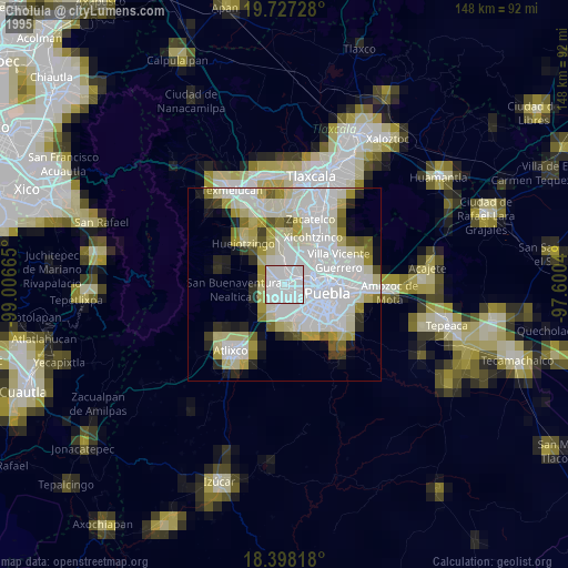
» NASA, Earths city lights 1995
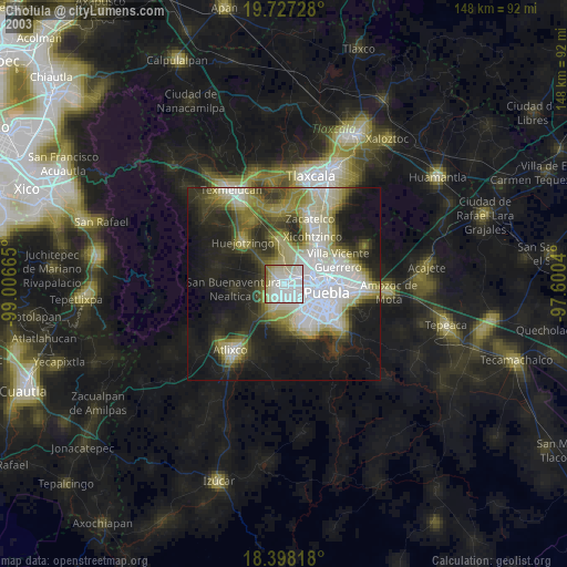
» NASA city lights 2003
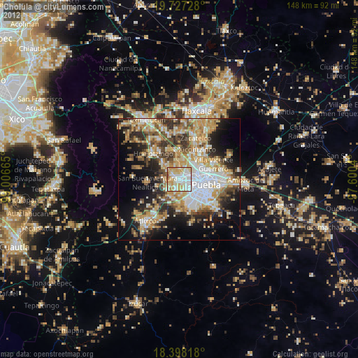
» Earth at Night: Flat Maps 2012, 2016