Cuautlancingo night lights from space
Night Light of Cuautlancingo (Puebla) from space (Mexico) Src. Average luminocity for 10x10km area is 94.8117% and for 50x50km: 56.9249%.
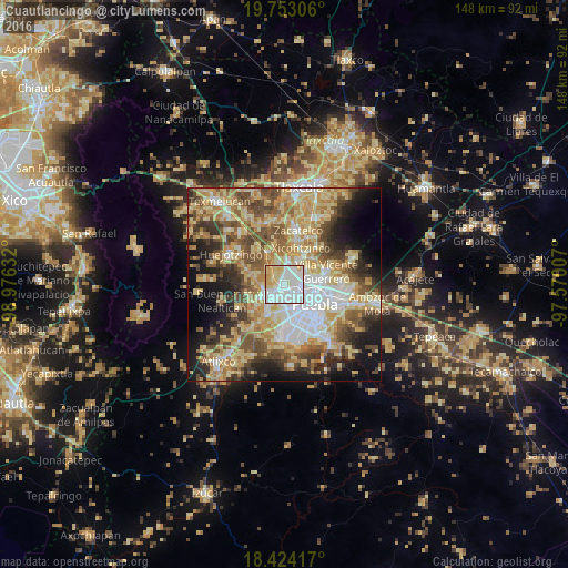
Analysis of Cuautlancingo night lights 2016
Square area 10x10 km:
 47.19%
90-99
27.92%80-89
15.8%70-79
9.09%60-69
0%50-59
0%40-49
0%30-39
0%20-29
0%10-19
0%0-9
0%Square area 50x50 km:
9.94%90-99
8.04%80-89
14.83%70-79
10.14%60-69
7.99%50-59
8.11%40-49
8.65%30-39
5.99%20-29
6.92%10-19
10.81%0-9
8.58%Clear (daylight) street map image can be seen on geolist.org.
Map coordinates:
19° 45' 11" North, 98° 58' 34.8" West
19° 5' 23.8" North, 98° 16' 23.5" West
18° 25' 27" North, 97° 34' 12.3" West
Some cities around Cuautlancingo sort by population:
• Cholula
4.3 km =2.7 mi,  227°
227°
• San Bernardino Tlaxcalancingo
6.8 km =4.2 mi,  183°
183°
• San Andrés Cholula
4.9 km =3 mi,  208°
208°
• Sanctorum
2.2 km =1.4 mi,  62°
62°
• Santiago Momoxpan
1.9 km =1.2 mi,  160°
160°
• Coronango
4.9 km =3 mi,  315°
315°
• San Francisco Ocotlán
5 km =3.1 mi,  347°
347°
• Cuanalá
6.1 km =3.8 mi,  290°
290°
3529981 (p: 25,104)
Sources (retrieved 2019-11-25):
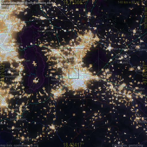
» Earth at Night: Flat Maps 2012, 2016