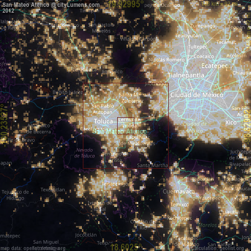
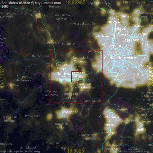
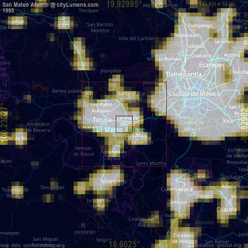
San Mateo Atenco night lights from space
Night Light of San Mateo Atenco (México) from space (Mexico) Src. Average luminocity for 10x10km area is 77.6515% and for 50x50km: 44.7587%.

Analysis of San Mateo Atenco night lights 2016
Square area 10x10 km:
 13.64%
90-99
20.78%80-89
15.15%70-79
18.18%60-69
12.77%50-59
8.87%40-49
5.84%30-39
4.76%20-29
0%10-19
0%0-9
0%Square area 50x50 km:
5.05%90-99
5.17%80-89
8.11%70-79
9.76%60-69
12.15%50-59
6.08%40-49
6.79%30-39
5.36%20-29
9.28%10-19
12.02%0-9
20.22%Clear (daylight) street map image can be seen on geolist.org.
Map coordinates:
19° 55' 47.8" North, 100° 14' 7" West
19° 16' 3.3" North, 99° 31' 55.7" West
18° 36' 9" North, 98° 49' 44.5" West
Some cities around San Mateo Atenco sort by population:
• San Salvador Tizatlalli
6.2 km =3.9 mi,  262°
262°
• Lerma de Villada
3.2 km =2 mi,  42°
42°
• San Pedro Tultepec
2.4 km =1.5 mi,  96°
96°
• San Pedro Cholula
4.8 km =3 mi,  94°
94°
• San Pedro Chochula
4.9 km =3 mi, 95°
• El Cerrillo Vista Hermosa
6.3 km =3.9 mi,  350°
350°
• San Gaspar Tlahuelilpan
3.1 km =1.9 mi,  207°
207°
• Atizapán
2.7 km =1.7 mi,  223°
223°
3518387 (p: 67,890)
Sources (retrieved 2019-11-25):
» NASA, Earths city lights 1995
» NASA city lights 2003
» Earth at Night: Flat Maps 2012, 2016