San Salvador Tizatlalli night lights from space
Night Light of San Salvador Tizatlalli (México) from space (Mexico) Src. Average luminocity for 10x10km area is 89.2706% and for 50x50km: 41.962%.
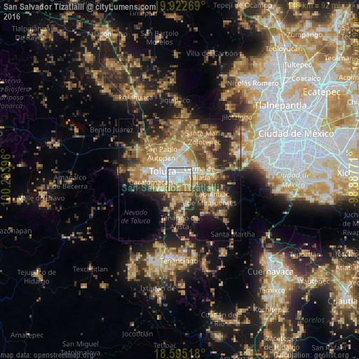
Analysis of San Salvador Tizatlalli night lights 2016
Square area 10x10 km:
 37.23%
90-99
23.59%80-89
11.26%70-79
18.18%60-69
6.49%50-59
2.38%40-49
0.87%30-39
0%20-29
0%10-19
0%0-9
0%Square area 50x50 km:
4.37%90-99
4.41%80-89
7.35%70-79
8.54%60-69
11.81%50-59
5.83%40-49
7.06%30-39
5.56%20-29
9.7%10-19
13.36%0-9
22.02%Clear (daylight) street map image can be seen on geolist.org.
Map coordinates:
19° 55' 21.7" North, 100° 17' 38.3" West
19° 15' 37" North, 99° 35' 27" West
18° 35' 42.6" North, 98° 53' 15.8" West
Some cities around San Salvador Tizatlalli sort by population:
• Metepec
1.2 km =0.7 mi,  264°
264°
• San Jerónimo Chicahualco
2.5 km =1.6 mi,  355°
355°
• San Francisco Cuaxusco
3.1 km =1.9 mi,  285°
285°
• San Jorge Pueblo Nuevo
3.9 km =2.4 mi, 260°
• San Gaspar Tlahuelilpan
5.1 km =3.2 mi,  112°
112°
• San Miguel Totocuitlapilco
3.5 km =2.2 mi,  185°
185°
• Atizapán
4.4 km =2.7 mi,  104°
104°
• Santa María Magdalena Ocotitlán
4.3 km =2.7 mi,  233°
233°
8858087 (p: 61,367)
Sources (retrieved 2019-11-25):
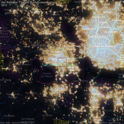
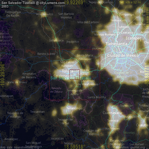
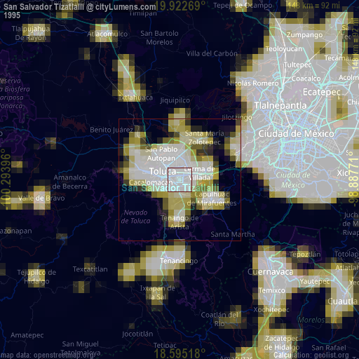
» NASA, Earths city lights 1995
» NASA city lights 2003
» Earth at Night: Flat Maps 2012, 2016