Puruándiro night lights from space
Night Light of Puruándiro (Michoacán) from space (Mexico) Src. Average luminocity for 10x10km area is 13.0159% and for 50x50km: 5.0457%.
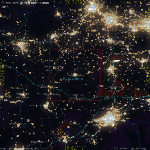
Analysis of Puruándiro night lights 2016
Square area 10x10 km:
 0%
0%90-99
1.19%80-89
3.37%70-79
2.78%60-69
1.39%50-59
0.2%40-49
4.56%30-39
1.79%20-29
0.99%10-19
0.4%0-9
83.33%Square area 50x50 km:
0%90-99
0.12%80-89
1.04%70-79
0.64%60-69
0.77%50-59
0.78%40-49
1.68%30-39
1.08%20-29
0.93%10-19
0.65%0-9
92.32%Clear (daylight) street map image can be seen on geolist.org.
Map coordinates:
20° 44' 52.1" North, 102° 13' 8.1" West
20° 5' 19.9" North, 101° 30' 56.8" West
19° 25' 37.7" North, 100° 48' 45.6" West
Some cities around Puruándiro sort by population:
• Uriangato
35.3 km =21.9 mi,  80°
80°
• Moroleón
34 km =21.1 mi, 83°
• Huandacareo
27.3 km =17 mi,  113°
113°
• Pastor Ortíz
25.5 km =15.8 mi,  340°
340°
• Cerano
13.6 km =8.5 mi, 80°
• Panindícuaro
28.1 km =17.5 mi,  245°
245°
• Huanímaro
31.1 km =19.3 mi,  3°
3°
• Angamacutiro de la Unión
21.5 km =13.4 mi,  288°
288°
3991219 (p: 30,571)
Sources (retrieved 2019-11-25):
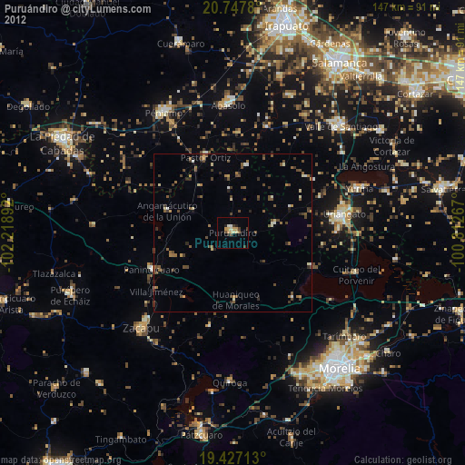
» Earth at Night: Flat Maps 2012, 2016