Puerto San Carlos night lights from space
Night Light of Puerto San Carlos (Baja California Sur) from space (Mexico) Src. Average luminocity for 10x10km area is 4.5795% and for 50x50km: 0.1871%.
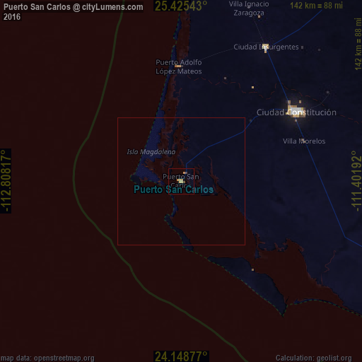
Analysis of Puerto San Carlos night lights 2016
Square area 10x10 km:
 0%
0%90-99
0%80-89
0.76%70-79
3.22%60-69
0.57%50-59
0%40-49
0%30-39
1.52%20-29
0%10-19
0%0-9
93.94%Square area 50x50 km:
0%90-99
0%80-89
0.03%70-79
0.13%60-69
0.02%50-59
0%40-49
0%30-39
0.06%20-29
0%10-19
0%0-9
99.75%Clear (daylight) street map image can be seen on geolist.org.
Map coordinates:
25° 25' 31.5" North, 112° 48' 29.4" West
24° 47' 19.5" North, 112° 6' 18.1" West
24° 8' 55.6" North, 111° 24' 6.9" West
Some cities around Puerto San Carlos sort by population:
• La Paz
196.2 km =121.9 mi,  111°
111°
• Ciudad Constitución
52.2 km =32.4 mi,  58°
58°
• Loreto
155.8 km =96.8 mi,  29°
29°
• Santa Rosalía
284.2 km =176.6 mi,  356°
356°
• Las Palmas
301.3 km =187.2 mi,  133°
133°
• Las Veredas
304.3 km =189.1 mi, 126°
• Ciudad Insurgentes
62.4 km =38.8 mi, 32°
• Todos Santos
242.4 km =150.6 mi, 127°
3987485 (p: 5,538)
Sources (retrieved 2019-11-25):
» Earth at Night: Flat Maps 2012, 2016