Loreto night lights from space
Night Light of Loreto (Baja California Sur) from space (Mexico) Src. Average luminocity for 10x10km area is 14.4663% and for 50x50km: 0.7784%.
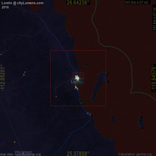
Analysis of Loreto night lights 2016
Square area 10x10 km:
 1.19%
1.19%90-99
1.98%80-89
4.96%70-79
2.38%60-69
0.99%50-59
0.4%40-49
0%30-39
1.59%20-29
1.59%10-19
0.99%0-9
83.93%Square area 50x50 km:
0.05%90-99
0.08%80-89
0.23%70-79
0.12%60-69
0.07%50-59
0.05%40-49
0.03%30-39
0.16%20-29
0.1%10-19
0.09%0-9
99.03%Clear (daylight) street map image can be seen on geolist.org.
Map coordinates:
26° 38' 32.5" North, 112° 3' 7.2" West
26° 0' 43.8" North, 111° 20' 56" West
25° 22' 42.9" North, 110° 38' 44.7" West
Some cities around Loreto sort by population:
• Ciudad Constitución
113.4 km =70.5 mi,  196°
196°
• Huatabampo
192.5 km =119.6 mi,  61°
61°
• Pueblo Yaqui
198.4 km =123.3 mi,  41°
41°
• Villa Juárez
194.8 km =121 mi,  50°
50°
• Santa Rosalía
173.6 km =107.9 mi,  328°
328°
• Ciudad Insurgentes
93.5 km =58.1 mi,  207°
207°
• San Ignacio Río Muerto
190.7 km =118.5 mi, 35°
• Puerto San Carlos
155.8 km =96.8 mi, 209°
3998287 (p: 14,724)
Sources (retrieved 2019-11-25):
» Earth at Night: Flat Maps 2012, 2016