Ciudad Insurgentes night lights from space
Night Light of Ciudad Insurgentes (Baja California Sur) from space (Mexico) Src. Average luminocity for 10x10km area is 6.381% and for 50x50km: 0.891%.
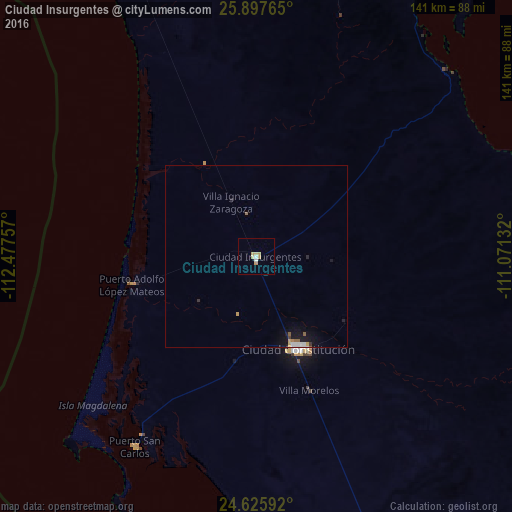
Analysis of Ciudad Insurgentes night lights 2016
Square area 10x10 km:
 0.6%
0.6%90-99
0.99%80-89
1.59%70-79
3.17%60-69
0%50-59
0%40-49
0%30-39
0%20-29
0%10-19
0%0-9
93.65%Square area 50x50 km:
0.11%90-99
0.11%80-89
0.07%70-79
0.24%60-69
0.06%50-59
0.12%40-49
0.02%30-39
0.07%20-29
0.09%10-19
0.71%0-9
98.39%Clear (daylight) street map image can be seen on geolist.org.
Map coordinates:
25° 53' 51.5" North, 112° 28' 39.3" West
25° 15' 48.4" North, 111° 46' 28" West
24° 37' 33.3" North, 111° 4' 16.8" West
Some cities around Ciudad Insurgentes sort by population:
• La Paz
194 km =120.5 mi,  129°
129°
• Huatabampo
274.9 km =170.8 mi,  50°
50°
• Loreto
93.5 km =58.1 mi,  27°
27°
• Santa Rosalía
236.1 km =146.7 mi,  347°
347°
• Ahome
270.9 km =168.3 mi,  74°
74°
• Higuera de Zaragoza
259.8 km =161.4 mi, 72°
• Puerto San Carlos
62.4 km =38.8 mi,  212°
212°
• Todos Santos
255.9 km =159 mi,  142°
142°
4011574 (p: 8,741)
Sources (retrieved 2019-11-25):
» Earth at Night: Flat Maps 2012, 2016