Santa Rosalía night lights from space
Night Light of Santa Rosalía (Baja California Sur) from space (Mexico) Src. Average luminocity for 10x10km area is 15.3106% and for 50x50km: 0.8006%.
Analysis of Santa Rosalía night lights 2016
Square area 10x10 km:
 0.95%
0.95%90-99
4.55%80-89
2.65%70-79
2.46%60-69
1.52%50-59
0.76%40-49
1.33%30-39
0.19%20-29
0.95%10-19
2.84%0-9
81.82%Square area 50x50 km:
0.04%90-99
0.18%80-89
0.14%70-79
0.12%60-69
0.06%50-59
0.03%40-49
0.14%30-39
0.06%20-29
0.11%10-19
0.14%0-9
98.97%Clear (daylight) street map image can be seen on geolist.org.
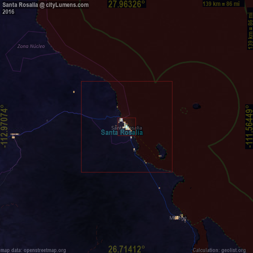
Map coordinates:
27° 57' 47.7" North, 112° 58' 14.7" West
27° 20' 25.6" North, 112° 16' 3.4" West
26° 42' 50.8" North, 111° 33' 52.2" West
Some cities around Santa Rosalía sort by population:
• Heroica Guaymas
149.5 km =92.9 mi,  64°
64°
• Empalme
158.9 km =98.7 mi, 64°
• Miguel Alemán (La Doce)
183.9 km =114.3 mi,  24°
24°
• Loreto
173.6 km =107.9 mi,  148°
148°
• Guerrero Negro
188.4 km =117.1 mi,  291°
291°
• Villa Alberto Andrés Alvarado Arámburo
115.3 km =71.6 mi, 287°
• Potam
185.4 km =115.2 mi,  80°
80°
• Bahía de Kino
167.9 km =104.3 mi,  11°
11°
3983805 (p: 11,765)
Sources (retrieved 2019-11-25):
» Earth at Night: Flat Maps 2012, 2016