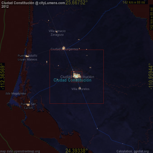
Ciudad Constitución night lights from space
Night Light of Ciudad Constitución (Baja California Sur) from space (Mexico) Src. Average luminocity for 10x10km area is 29.8201% and for 50x50km: 1.5029%.
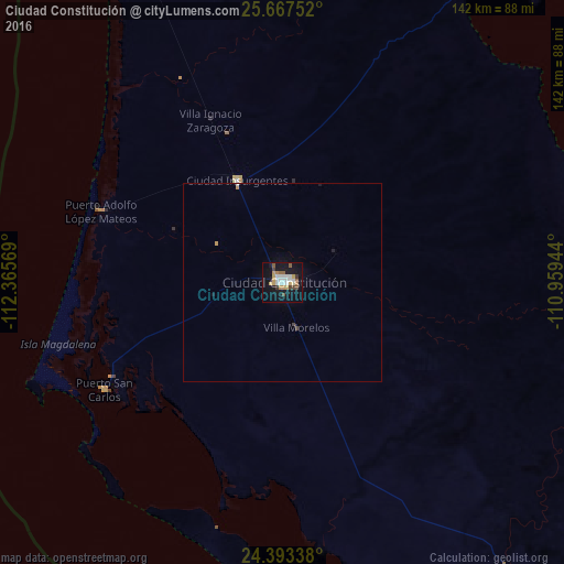
Analysis of Ciudad Constitución night lights 2016
Square area 10x10 km:
 7.2%
7.2%90-99
4.36%80-89
2.27%70-79
5.87%60-69
1.52%50-59
3.79%40-49
3.03%30-39
2.27%20-29
0%10-19
33.71%0-9
35.98%Square area 50x50 km:
0.29%90-99
0.21%80-89
0.09%70-79
0.3%60-69
0.06%50-59
0.15%40-49
0.16%30-39
0.12%20-29
0.03%10-19
1.45%0-9
97.13%Clear (daylight) street map image can be seen on geolist.org.
Map coordinates:
25° 40' 3.1" North, 112° 21' 56.5" West
25° 1' 55.6" North, 111° 39' 45.2" West
24° 23' 36.2" North, 110° 57' 34" West
Some cities around Ciudad Constitución sort by population:
• La Paz
169.4 km =105.3 mi,  125°
125°
• Loreto
113.4 km =70.5 mi,  16°
16°
• Santa Rosalía
263.7 km =163.9 mi,  346°
346°
• Ahome
268.7 km =167 mi,  68°
68°
• Higuera de Zaragoza
258.6 km =160.7 mi, 66°
• Topolobampo
269.9 km =167.7 mi,  76°
76°
• Puerto San Carlos
52.2 km =32.4 mi,  238°
238°
• Todos Santos
228.8 km =142.2 mi,  140°
140°
4013723 (p: 40,935)
Sources (retrieved 2019-11-25):
» Earth at Night: Flat Maps 2012, 2016