La Paz night lights from space
Night Light of La Paz (Baja California Sur) from space (Mexico) Src. Average luminocity for 10x10km area is 66.7386% and for 50x50km: 6.6928%.
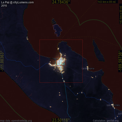
Analysis of La Paz night lights 2016
Square area 10x10 km:
 21.78%
90-99
19.7%80-89
7.01%70-79
6.82%60-69
2.46%50-59
6.25%40-49
5.3%30-39
7.2%20-29
17.61%10-19
5.87%0-9
0%Square area 50x50 km:
1.25%90-99
1.09%80-89
0.82%70-79
1.3%60-69
0.27%50-59
0.6%40-49
0.88%30-39
0.78%20-29
2.24%10-19
4.26%0-9
86.51%Clear (daylight) street map image can be seen on geolist.org.
Map coordinates:
24° 47' 3.7" North, 111° 0' 13.1" West
24° 8' 39.7" North, 110° 18' 1.8" West
23° 30' 4.2" North, 109° 35' 50.6" West
Some cities around La Paz sort by population:
• San José del Cabo
135.4 km =84.1 mi,  153°
153°
• Cabo San Lucas
144.9 km =90 mi,  164°
164°
• Colonia del Sol
142.2 km =88.4 mi, 164°
• Ciudad Constitución
169.4 km =105.3 mi,  305°
305°
• Las Palmas
139.2 km =86.5 mi, 164°
• Las Veredas
126 km =78.3 mi, 151°
• Ciudad Insurgentes
194 km =120.5 mi, 309°
• Todos Santos
78 km =48.5 mi,  174°
174°
4000900 (p: 215,178)
Sources (retrieved 2019-11-25):
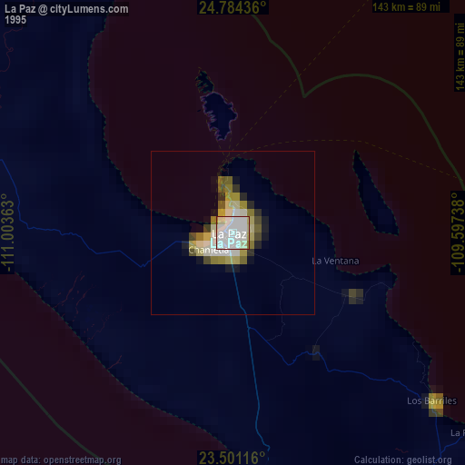
» NASA, Earths city lights 1995
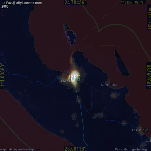
» NASA city lights 2003
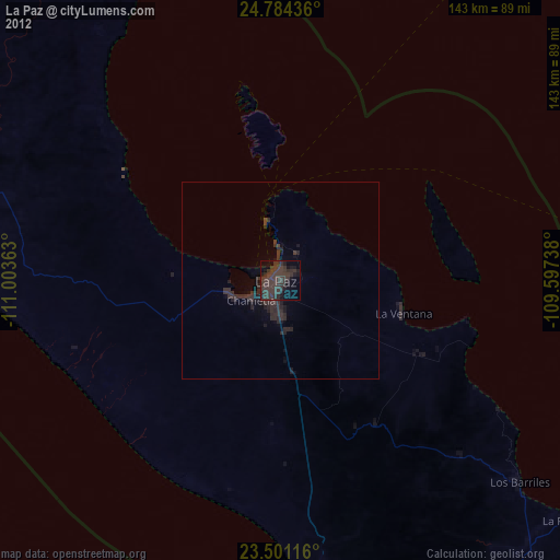
» Earth at Night: Flat Maps 2012, 2016