Todos Santos night lights from space
Night Light of Todos Santos (Baja California Sur) from space (Mexico) Src. Average luminocity for 10x10km area is 8.2538% and for 50x50km: 0.5561%.
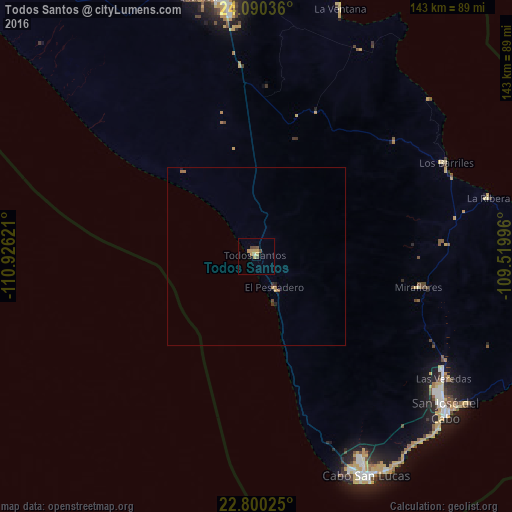
Analysis of Todos Santos night lights 2016
Square area 10x10 km:
 0%
0%90-99
0.76%80-89
0.57%70-79
4.73%60-69
0%50-59
0.57%40-49
3.22%30-39
0%20-29
0%10-19
1.52%0-9
88.64%Square area 50x50 km:
0%90-99
0.03%80-89
0.02%70-79
0.26%60-69
0.09%50-59
0.05%40-49
0.16%30-39
0.06%20-29
0.06%10-19
0.09%0-9
99.15%Clear (daylight) street map image can be seen on geolist.org.
Map coordinates:
24° 5' 25.3" North, 110° 55' 34.4" West
23° 26' 48.8" North, 110° 13' 23.1" West
22° 48' 0.9" North, 109° 31' 11.9" West
Some cities around Todos Santos sort by population:
• La Paz
78 km =48.5 mi,  354°
354°
• San José del Cabo
68.9 km =42.8 mi,  128°
128°
• Cabo San Lucas
69.5 km =43.2 mi,  152°
152°
• Colonia del Sol
66.7 km =41.4 mi, 152°
• Ciudad Constitución
228.8 km =142.2 mi,  320°
320°
• Las Palmas
63.6 km =39.5 mi, 153°
• Las Veredas
62.2 km =38.6 mi,  121°
121°
• Puerto San Carlos
242.4 km =150.6 mi,  307°
307°
3981432 (p: 5,148)
Sources (retrieved 2019-11-25):
» Earth at Night: Flat Maps 2012, 2016