Pueblo Nuevo night lights from space
Night Light of Pueblo Nuevo (Durango) from space (Mexico) Src. Average luminocity for 10x10km area is 0% and for 50x50km: 0%.
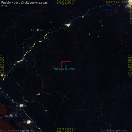
Analysis of Pueblo Nuevo night lights 2016
Square area 10x10 km:
 0%
0%90-99
0%80-89
0%70-79
0%60-69
0%50-59
0%40-49
0%30-39
0%20-29
0%10-19
0%0-9
100%Square area 50x50 km:
0%90-99
0%80-89
0%70-79
0%60-69
0%50-59
0%40-49
0%30-39
0%20-29
0%10-19
0%0-9
100%Clear (daylight) street map image can be seen on geolist.org.
Map coordinates:
24° 1' 23.1" North, 106° 5' 10.5" West
23° 22' 45.4" North, 105° 22' 59.3" West
22° 43' 56.3" North, 104° 40' 48" West
Some cities around Pueblo Nuevo sort by population:
• Escuinapa
72.9 km =45.3 mi,  213°
213°
• El Salto
44.4 km =27.6 mi,  2°
2°
• Acaponeta
98.5 km =61.2 mi,  178°
178°
• El Rosario
64.8 km =40.3 mi,  228°
228°
• Villa Unión
88 km =54.7 mi,  256°
256°
• Concordia
70.3 km =43.7 mi, 261°
• Isla del Bosque
86 km =53.4 mi, 213°
• Tayoltita
97.9 km =60.8 mi,  325°
325°
4007676 (p: 19,363)
Sources (retrieved 2019-11-25):
» Earth at Night: Flat Maps 2012, 2016