El Rosario night lights from space
Night Light of El Rosario (Sinaloa) from space (Mexico) Src. Average luminocity for 10x10km area is 9.9048% and for 50x50km: 1.6067%.
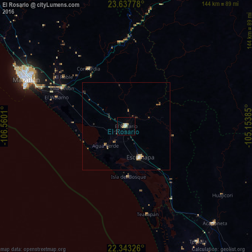
Analysis of El Rosario night lights 2016
Square area 10x10 km:
 0.4%
0.4%90-99
1.98%80-89
3.17%70-79
1.59%60-69
0%50-59
1.59%40-49
0%30-39
0.6%20-29
0.6%10-19
1.19%0-9
88.89%Square area 50x50 km:
0.07%90-99
0.12%80-89
0.34%70-79
0.23%60-69
0.25%50-59
0.22%40-49
0.24%30-39
0.37%20-29
0.34%10-19
0.2%0-9
97.63%Clear (daylight) street map image can be seen on geolist.org.
Map coordinates:
23° 38' 16" North, 106° 33' 36.4" West
22° 59' 31.5" North, 105° 51' 25.1" West
22° 20' 35.7" North, 105° 9' 13.9" West
Some cities around El Rosario sort by population:
• Mazatlán
62.2 km =38.6 mi,  295°
295°
• Escuinapa
19.5 km =12.1 mi,  155°
155°
• Pueblo Nuevo
64.8 km =40.3 mi,  48°
48°
• Acaponeta
75 km =46.6 mi,  137°
137°
• Villa Unión
43.1 km =26.8 mi, 300°
• Concordia
39 km =24.2 mi,  327°
327°
• Fraccionamiento los Ángeles
53.1 km =33 mi,  294°
294°
• Isla del Bosque
28.8 km =17.9 mi,  177°
177°
3988416 (p: 16,001)
Sources (retrieved 2019-11-25):
» Earth at Night: Flat Maps 2012, 2016