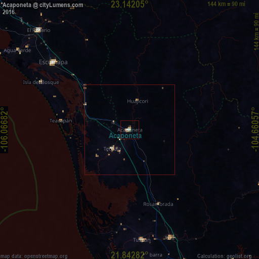
Acaponeta night lights from space
Night Light of Acaponeta (Nayarit) from space (Mexico) Src. Average luminocity for 10x10km area is 6.7197% and for 50x50km: 0.945%.
Analysis of Acaponeta night lights 2016
Square area 10x10 km:
 0%
0%90-99
1.52%80-89
0.38%70-79
2.65%60-69
0%50-59
0.95%40-49
1.33%30-39
0.95%20-29
0.57%10-19
1.33%0-9
90.34%Square area 50x50 km:
0.02%90-99
0.08%80-89
0.12%70-79
0.26%60-69
0.1%50-59
0.14%40-49
0.28%30-39
0.18%20-29
0.15%10-19
0.19%0-9
98.49%Clear (daylight) street map image can be seen on geolist.org.
Map coordinates:
23° 8' 31.4" North, 106° 4' 0.6" West
22° 29' 38.3" North, 105° 21' 49.3" West
21° 50' 34.2" North, 104° 39' 38.1" West
Some cities around Acaponeta sort by population:
• Escuinapa
56.8 km =35.3 mi,  311°
311°
• Tuxpan
61.7 km =38.3 mi,  173°
173°
• Santiago Ixcuintla
77.4 km =48.1 mi, 168°
• El Rosario
75 km =46.6 mi,  317°
317°
• Tecuala
14.4 km =8.9 mi,  222°
222°
• Ruíz
64.5 km =40.1 mi,  159°
159°
• Villa Hidalgo
84.7 km =52.6 mi, 170°
• Isla del Bosque
56.2 km =34.9 mi,  298°
298°
4019819 (p: 19,140)
Sources (retrieved 2019-11-25):
» Earth at Night: Flat Maps 2012, 2016