Nueva Palestina night lights from space
Night Light of Nueva Palestina (Chiapas) from space (Mexico) Src. Average luminocity for 10x10km area is 3.2294% and for 50x50km: 0.2931%.
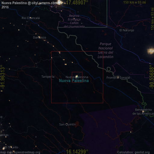
Analysis of Nueva Palestina night lights 2016
Square area 10x10 km:
 0%
0%90-99
0.87%80-89
0.22%70-79
1.52%60-69
0%50-59
0%40-49
0.87%30-39
0.43%20-29
0.43%10-19
0.87%0-9
94.81%Square area 50x50 km:
0%90-99
0.03%80-89
0.03%70-79
0.09%60-69
0.06%50-59
0.04%40-49
0.13%30-39
0.02%20-29
0.05%10-19
0.03%0-9
99.52%Clear (daylight) street map image can be seen on geolist.org.
Map coordinates:
17° 29' 20.7" North, 91° 57' 47.3" West
16° 49' 2" North, 91° 15' 36" West
16° 8' 34.8" North, 90° 33' 24.8" West
Some cities around Nueva Palestina sort by population:
• Ocosingo
89.3 km =55.5 mi,  276°
276°
• Tenosique
74.9 km =46.5 mi,  346°
346°
• San Carlos
82.5 km =51.3 mi,  7°
7°
• Altamirano
83.4 km =51.8 mi,  263°
263°
• Benemérito de las Américas
72.7 km =45.2 mi,  117°
117°
• Altamirano
95 km =59 mi,  274°
274°
• El Triunfo
93.6 km =58.2 mi,  223°
223°
• Frontera Corozal
40.1 km =24.9 mi,  90°
90°
8858155 (p: 10,588)
Sources (retrieved 2019-11-25):
» Earth at Night: Flat Maps 2012, 2016