San Carlos night lights from space
Night Light of San Carlos (Tabasco) from space (Mexico) Src. Average luminocity for 10x10km area is 0% and for 50x50km: 0.3504%.
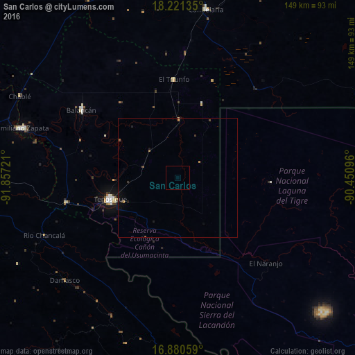
Analysis of San Carlos night lights 2016
Square area 10x10 km:
 0%
0%90-99
0%80-89
0%70-79
0%60-69
0%50-59
0%40-49
0%30-39
0%20-29
0%10-19
0%0-9
100%Square area 50x50 km:
0%90-99
0%80-89
0.02%70-79
0.1%60-69
0.03%50-59
0.05%40-49
0.08%30-39
0.09%20-29
0.09%10-19
0.28%0-9
99.27%Clear (daylight) street map image can be seen on geolist.org.
Map coordinates:
18° 13' 16.9" North, 91° 51' 26" West
17° 33' 8" North, 91° 9' 14.7" West
16° 52' 50.1" North, 90° 27' 3.5" West
Some cities around San Carlos sort by population:
• Palenque
88 km =54.7 mi,  266°
266°
• Tenosique
29.9 km =18.6 mi,  252°
252°
• Emiliano Zapata
68.2 km =42.4 mi,  287°
287°
• Balancán
49.6 km =30.8 mi,  305°
305°
• Nueva Palestina
82.5 km =51.3 mi,  187°
187°
• Candelaria
71.4 km =44.4 mi,  9°
9°
• El Triunfo
41.2 km =25.6 mi,  357°
357°
• Frontera Corozal
86.9 km =54 mi,  160°
160°
3519588 (p: 13,054)
Sources (retrieved 2019-11-25):
» Earth at Night: Flat Maps 2012, 2016