Tenosique night lights from space
Night Light of Tenosique (Tabasco) from space (Mexico) Src. Average luminocity for 10x10km area is 26.3636% and for 50x50km: 1.6273%.
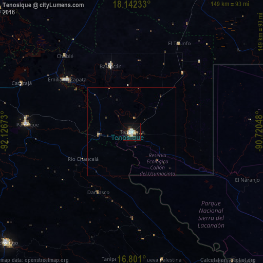
Analysis of Tenosique night lights 2016
Square area 10x10 km:
 4.96%
4.96%90-99
6.61%80-89
2.69%70-79
2.07%60-69
2.69%50-59
1.65%40-49
0.41%30-39
4.55%20-29
2.69%10-19
28.31%0-9
43.39%Square area 50x50 km:
0.19%90-99
0.26%80-89
0.17%70-79
0.15%60-69
0.19%50-59
0.16%40-49
0.1%30-39
0.43%20-29
0.38%10-19
1.23%0-9
96.74%Clear (daylight) street map image can be seen on geolist.org.
Map coordinates:
18° 8' 32.4" North, 92° 7' 36.2" West
17° 28' 22.4" North, 91° 25' 25" West
16° 48' 3.6" North, 90° 43' 13.7" West
Some cities around Tenosique sort by population:
• Palenque
59.4 km =36.9 mi,  273°
273°
• Emiliano Zapata
47 km =29.2 mi,  309°
309°
• San Carlos
29.9 km =18.6 mi,  72°
72°
• Balancán
39.3 km =24.4 mi,  342°
342°
• Nueva Palestina
74.9 km =46.5 mi,  166°
166°
• Candelaria
88.8 km =55.2 mi,  26°
26°
• El Triunfo
56.8 km =35.3 mi, 28°
• Frontera Corozal
93 km =57.8 mi,  141°
141°
3515956 (p: 32,579)
Sources (retrieved 2019-11-25):
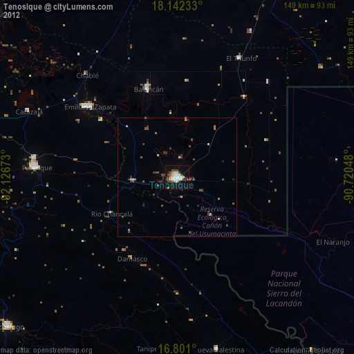
» Earth at Night: Flat Maps 2012, 2016