Motul night lights from space
Night Light of Motul (Yucatán) from space (Mexico) Src. Average luminocity for 10x10km area is 28.8571% and for 50x50km: 7.7575%.
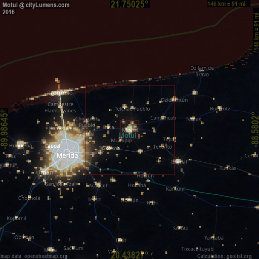
Analysis of Motul night lights 2016
Square area 10x10 km:
 0%
0%90-99
1.79%80-89
12.5%70-79
1.59%60-69
3.17%50-59
4.96%40-49
4.76%30-39
5.16%20-29
2.38%10-19
33.13%0-9
30.56%Square area 50x50 km:
0%90-99
0.26%80-89
1.9%70-79
0.77%60-69
0.99%50-59
1.37%40-49
1.93%30-39
1.84%20-29
1.8%10-19
5.24%0-9
83.89%Clear (daylight) street map image can be seen on geolist.org.
Map coordinates:
21° 45' 0.9" North, 89° 59' 11.2" West
21° 5' 44.6" North, 89° 16' 60" West
20° 26' 17.8" North, 88° 34' 48.7" West
Some cities around Motul sort by population:
• Kanasín
33.7 km =20.9 mi,  237°
237°
• Izamal
32.8 km =20.4 mi,  122°
122°
• Tixkokob
15.6 km =9.7 mi,  228°
228°
• Seyé
30.3 km =18.8 mi,  197°
197°
• Dzidzantun
30.3 km =18.8 mi,  55°
55°
• Conkal
24.7 km =15.3 mi,  264°
264°
• Cacalchen
13.8 km =8.6 mi,  154°
154°
• Cholul
29.2 km =18.1 mi, 258°
3522924 (p: 23,240)
Sources (retrieved 2019-11-25):
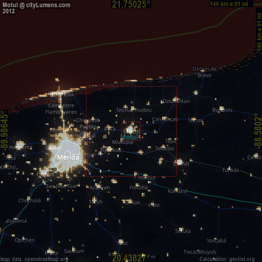
» Earth at Night: Flat Maps 2012, 2016