Kanasín night lights from space
Night Light of Kanasín (Yucatán) from space (Mexico) Src. Average luminocity for 10x10km area is 80.2123% and for 50x50km: 29.7417%.
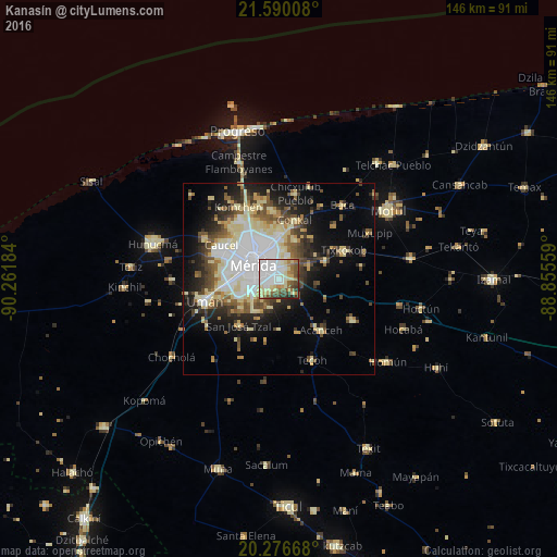
Analysis of Kanasín night lights 2016
Square area 10x10 km:
 32.34%
90-99
15.87%80-89
15.28%70-79
5.56%60-69
7.94%50-59
8.73%40-49
7.94%30-39
5.16%20-29
1.19%10-19
0%0-9
0%Square area 50x50 km:
6.73%90-99
5.59%80-89
6.15%70-79
1.97%60-69
2.7%50-59
3.54%40-49
4.47%30-39
3.56%20-29
5.15%10-19
10.49%0-9
49.65%Clear (daylight) street map image can be seen on geolist.org.
Map coordinates:
21° 35' 24.3" North, 90° 15' 42.6" West
20° 56' 5.4" North, 89° 33' 31.4" West
20° 16' 36" North, 88° 51' 20.1" West
Some cities around Kanasín sort by population:
• Mérida
7.5 km =4.7 mi,  306°
306°
• Uman
20.4 km =12.7 mi,  253°
253°
• Tixkokob
18.6 km =11.6 mi,  66°
66°
• Acanceh
17.5 km =10.9 mi,  141°
141°
• Conkal
16 km =9.9 mi,  14°
14°
• Caucel
17.5 km =10.9 mi,  300°
300°
• Cholul
12 km =7.5 mi,  359°
359°
• Itzincab Palomeque
14.6 km =9.1 mi,  261°
261°
3526323 (p: 77,240)
Sources (retrieved 2019-11-25):
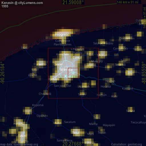
» NASA, Earths city lights 1995
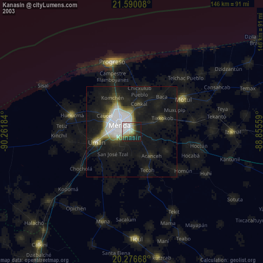
» NASA city lights 2003
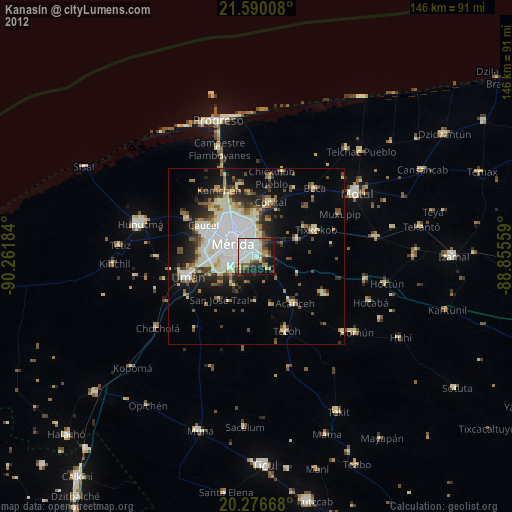
» Earth at Night: Flat Maps 2012, 2016