Concepción del Oro night lights from space
Night Light of Concepción del Oro (Zacatecas) from space (Mexico) Src. Average luminocity for 10x10km area is 8.9306% and for 50x50km: 0.9122%.
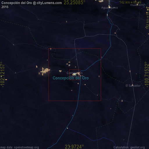
Analysis of Concepción del Oro night lights 2016
Square area 10x10 km:
 0%
0%90-99
0.79%80-89
1.59%70-79
0.79%60-69
4.56%50-59
0.99%40-49
0.6%30-39
2.18%20-29
0%10-19
1.59%0-9
86.9%Square area 50x50 km:
0%90-99
0.06%80-89
0.14%70-79
0.13%60-69
0.24%50-59
0.12%40-49
0.21%30-39
0.22%20-29
0.13%10-19
0.25%0-9
98.5%Clear (daylight) street map image can be seen on geolist.org.
Map coordinates:
25° 15' 3.1" North, 102° 7' 17.7" West
24° 36' 47.7" North, 101° 25' 6.4" West
23° 58' 20.6" North, 100° 42' 55.2" West
Some cities around Concepción del Oro sort by population:
• Saltillo
99.2 km =61.6 mi,  24°
24°
• Santa Catarina
152.4 km =94.7 mi,  39°
39°
• Matehuala
133 km =82.6 mi,  143°
143°
• Ramos Arizpe
113.4 km =70.5 mi, 24°
• Parras de la Fuente
119.8 km =74.4 mi,  320°
320°
• Cedral
112.7 km =70 mi, 141°
• Arteaga
109 km =67.7 mi,  31°
31°
• Galeana
137.6 km =85.5 mi,  80°
80°
4013039 (p: 7,210)
Sources (retrieved 2019-11-25):
» Earth at Night: Flat Maps 2012, 2016