Jaumave night lights from space
Night Light of Jaumave (Tamaulipas) from space (Mexico) Src. Average luminocity for 10x10km area is 3.5057% and for 50x50km: 0.1825%.
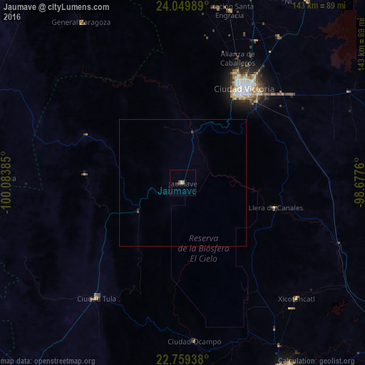
Analysis of Jaumave night lights 2016
Square area 10x10 km:
 0%
0%90-99
0.19%80-89
0.57%70-79
0.76%60-69
0.19%50-59
1.7%40-49
1.14%30-39
0.38%20-29
0.38%10-19
0%0-9
94.7%Square area 50x50 km:
0%90-99
0.01%80-89
0.02%70-79
0.03%60-69
0.01%50-59
0.07%40-49
0.11%30-39
0.02%20-29
0.05%10-19
0%0-9
99.69%Clear (daylight) street map image can be seen on geolist.org.
Map coordinates:
24° 2' 59.6" North, 100° 5' 1.9" West
23° 24' 22.4" North, 99° 22' 50.6" West
22° 45' 33.8" North, 98° 40' 39.4" West
Some cities around Jaumave sort by population:
• Ciudad Victoria
44.3 km =27.5 mi,  32°
32°
• Ciudad Mante
84.7 km =52.6 mi,  150°
150°
• Ciudad Tula
56.6 km =35.2 mi,  216°
216°
• Xicoténcatl
63.9 km =39.7 mi,  135°
135°
• Guillermo Zúñiga
70.2 km =43.6 mi,  15°
15°
• Estación Santa Engracia
70.1 km =43.6 mi, 15°
• Nueva Villa de Padilla
86.5 km =53.7 mi, 34°
• Ocampo
62.3 km =38.7 mi,  176°
176°
3526564 (p: 5,633)
Sources (retrieved 2019-11-25):
» Earth at Night: Flat Maps 2012, 2016