Doctor Arroyo night lights from space
Night Light of Doctor Arroyo (Nuevo León) from space (Mexico) Src. Average luminocity for 10x10km area is 7.9702% and for 50x50km: 0.3992%.
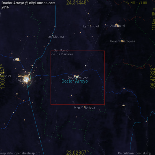
Analysis of Doctor Arroyo night lights 2016
Square area 10x10 km:
 0%
0%90-99
0.99%80-89
2.18%70-79
0.79%60-69
2.58%50-59
0.6%40-49
1.59%30-39
0.79%20-29
0.79%10-19
0.79%0-9
88.89%Square area 50x50 km:
0.01%90-99
0.06%80-89
0.09%70-79
0.06%60-69
0.1%50-59
0.02%40-49
0.06%30-39
0.03%20-29
0.03%10-19
0.1%0-9
99.43%Clear (daylight) street map image can be seen on geolist.org.
Map coordinates:
24° 18' 52.1" North, 100° 53' 4.1" West
23° 40' 19.6" North, 100° 10' 52.8" West
23° 1' 35.7" North, 99° 28' 41.6" West
Some cities around Doctor Arroyo sort by population:
• Ciudad Victoria
105.7 km =65.7 mi,  85°
85°
• Matehuala
47.1 km =29.3 mi,  266°
266°
• Charcas
112.6 km =70 mi,  237°
237°
• Cedral
57.8 km =35.9 mi,  286°
286°
• Ciudad Tula
89.1 km =55.4 mi,  147°
147°
• Guillermo Zúñiga
106.8 km =66.4 mi,  69°
69°
• Estación Santa Engracia
106.7 km =66.3 mi, 69°
• Jaumave
86.8 km =53.9 mi,  109°
109°
4011873 (p: 10,272)
Sources (retrieved 2019-11-25):
» Earth at Night: Flat Maps 2012, 2016