La Piedad night lights from space
Night Light of La Piedad (Michoacán) from space (Mexico) Src. Average luminocity for 10x10km area is 54.7708% and for 50x50km: 8.2985%.
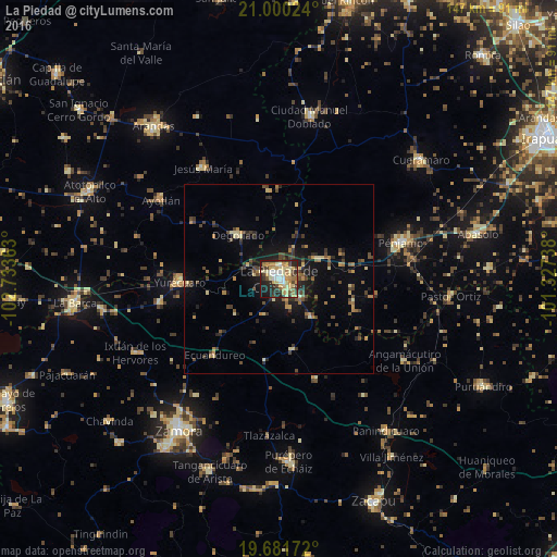
Analysis of La Piedad night lights 2016
Square area 10x10 km:
 4.55%
4.55%90-99
9.66%80-89
17.99%70-79
9.85%60-69
6.44%50-59
2.08%40-49
8.52%30-39
9.66%20-29
16.29%10-19
14.39%0-9
0.57%Square area 50x50 km:
0.19%90-99
0.53%80-89
1.64%70-79
1.06%60-69
1.16%50-59
0.76%40-49
2.61%30-39
1.52%20-29
2.36%10-19
4.98%0-9
83.18%Clear (daylight) street map image can be seen on geolist.org.
Map coordinates:
21° 0' 0.9" North, 102° 44' 1.1" West
20° 20' 32.6" North, 102° 1' 49.8" West
19° 40' 54.2" North, 101° 19' 38.6" West
Some cities around La Piedad sort by population:
• Pénjamo
33.6 km =20.9 mi,  72°
72°
• Yurécuaro
26.4 km =16.4 mi,  268°
268°
• Ayotlán
37.1 km =23.1 mi,  303°
303°
• Degollado
18.6 km =11.6 mi,  318°
318°
• Santa Ana Pacueco
1.6 km =1 mi, 70°
• Tanhuato de Guerrero
32 km =19.9 mi,  258°
258°
• Jesús María
35.5 km =22.1 mi,  325°
325°
• La Ribera
26.3 km =16.3 mi, 271°
4000821 (p: 83,323)
Sources (retrieved 2019-11-25):
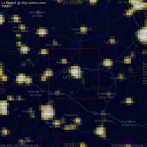
» NASA, Earths city lights 1995
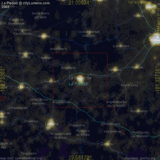
» NASA city lights 2003
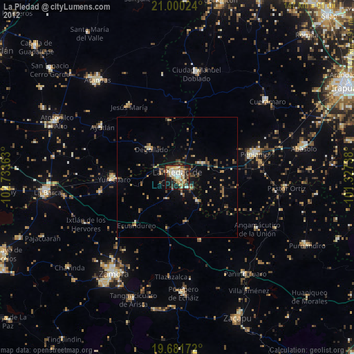
» Earth at Night: Flat Maps 2012, 2016