Yurécuaro night lights from space
Night Light of Yurécuaro (Michoacán) from space (Mexico) Src. Average luminocity for 10x10km area is 18.8939% and for 50x50km: 7.0626%.
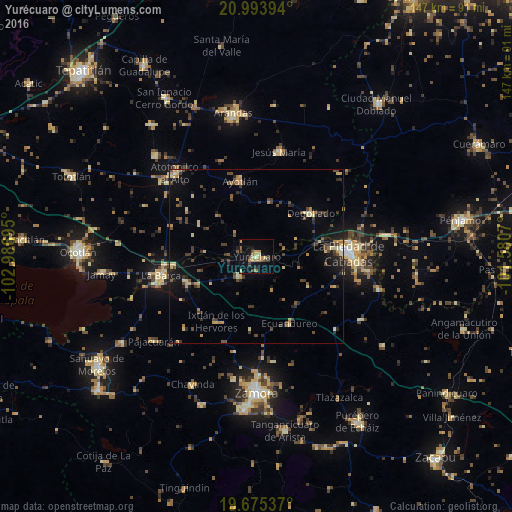
Analysis of Yurécuaro night lights 2016
Square area 10x10 km:
 0%
0%90-99
1.33%80-89
1.89%70-79
5.68%60-69
4.55%50-59
1.14%40-49
4.92%30-39
2.27%20-29
0.95%10-19
9.28%0-9
67.99%Square area 50x50 km:
0.06%90-99
0.3%80-89
1.4%70-79
1.01%60-69
0.93%50-59
0.52%40-49
2.16%30-39
1.44%20-29
1.74%10-19
3.82%0-9
86.62%Clear (daylight) street map image can be seen on geolist.org.
Map coordinates:
20° 59' 38.2" North, 102° 59' 13" West
20° 20' 9.8" North, 102° 17' 1.8" West
19° 40' 31.3" North, 101° 34' 50.5" West
Some cities around Yurécuaro sort by population:
• La Piedad
26.4 km =16.4 mi,  88°
88°
• La Barca
27.8 km =17.3 mi,  258°
258°
• Ayotlán
21.9 km =13.6 mi,  348°
348°
• Degollado
20.2 km =12.6 mi,  43°
43°
• Vista Hermosa de Negrete
21.2 km =13.2 mi,  250°
250°
• Santa Ana Pacueco
28 km =17.4 mi, 87°
• Tanhuato de Guerrero
7.5 km =4.7 mi,  221°
221°
• La Ribera
1.5 km =0.9 mi,  4°
4°
3979856 (p: 23,843)
Sources (retrieved 2019-11-25):
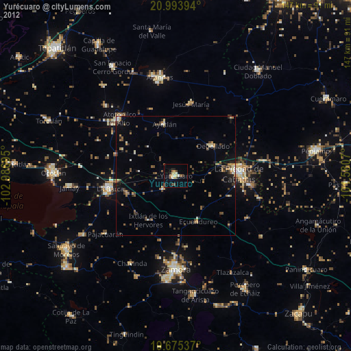
» Earth at Night: Flat Maps 2012, 2016