Tanhuato de Guerrero night lights from space
Night Light of Tanhuato de Guerrero (Michoacán) from space (Mexico) Src. Average luminocity for 10x10km area is 11.4107% and for 50x50km: 6.9451%.
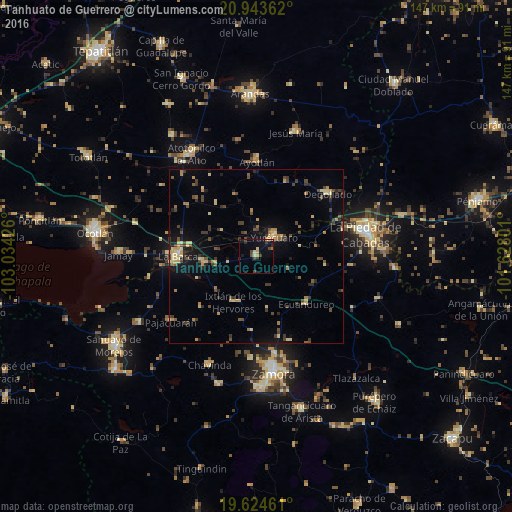
Analysis of Tanhuato de Guerrero night lights 2016
Square area 10x10 km:
 0%
0%90-99
0.2%80-89
2.18%70-79
2.58%60-69
0.99%50-59
0%40-49
4.17%30-39
2.18%20-29
3.17%10-19
4.76%0-9
79.76%Square area 50x50 km:
0.02%90-99
0.2%80-89
1.57%70-79
1.04%60-69
0.81%50-59
0.62%40-49
2.1%30-39
1.5%20-29
1.27%10-19
3.41%0-9
87.46%Clear (daylight) street map image can be seen on geolist.org.
Map coordinates:
20° 56' 37" North, 103° 2' 3.3" West
20° 17' 7.9" North, 102° 19' 52.1" West
19° 37' 28.6" North, 101° 37' 40.8" West
Some cities around Tanhuato de Guerrero sort by population:
• La Barca
22.3 km =13.9 mi,  270°
270°
• Yurécuaro
7.5 km =4.7 mi,  41°
41°
• Ayotlán
27.1 km =16.8 mi,  1°
1°
• Degollado
27.7 km =17.2 mi, 43°
• Vista Hermosa de Negrete
15.1 km =9.4 mi,  264°
264°
• Pajacuarán
30.7 km =19.1 mi,  232°
232°
• Ario de Rayón
28.9 km =18 mi,  183°
183°
• La Ribera
8.7 km =5.4 mi, 35°
3982542 (p: 9,546)
Sources (retrieved 2019-11-25):
» Earth at Night: Flat Maps 2012, 2016