Emiliano Zapata night lights from space
Night Light of Emiliano Zapata (Chiapas) from space (Mexico) Src. Average luminocity for 10x10km area is 14.6558% and for 50x50km: 1.6014%.
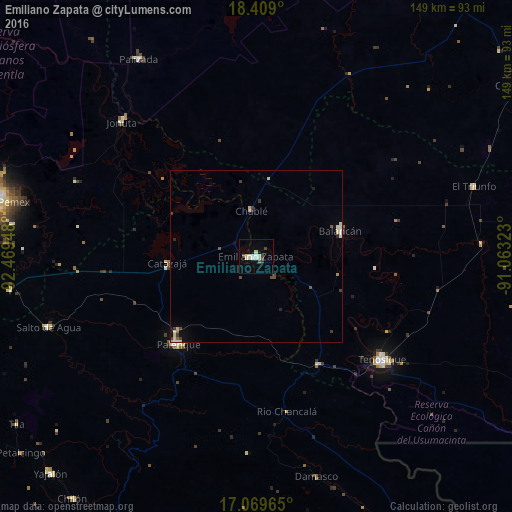
Analysis of Emiliano Zapata night lights 2016
Square area 10x10 km:
 1.3%
1.3%90-99
5.41%80-89
2.6%70-79
0.22%60-69
0%50-59
0.65%40-49
3.46%30-39
1.08%20-29
0%10-19
1.73%0-9
83.55%Square area 50x50 km:
0.09%90-99
0.39%80-89
0.39%70-79
0.05%60-69
0.06%50-59
0.12%40-49
0.34%30-39
0.36%20-29
0.13%10-19
0.3%0-9
97.77%Clear (daylight) street map image can be seen on geolist.org.
Map coordinates:
18° 24' 32.4" North, 92° 28' 10.1" West
17° 44' 26.1" North, 91° 45' 58.9" West
17° 4' 10.7" North, 91° 3' 47.6" West
Some cities around Emiliano Zapata sort by population:
• Palenque
34.4 km =21.4 mi,  221°
221°
• Tenosique
47 km =29.2 mi,  129°
129°
• San Carlos
68.2 km =42.4 mi,  107°
107°
• Balancán
25.5 km =15.8 mi,  72°
72°
• Jonuta
55.3 km =34.4 mi,  314°
314°
• Ciudad Pemex
77.6 km =48.2 mi,  281°
281°
• El Triunfo
66.3 km =41.2 mi, 72°
• Salto de Agua
64.2 km =39.9 mi,  251°
251°
3527880 (p: 20,030)
Sources (retrieved 2019-11-25):
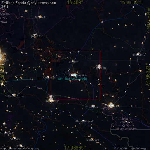
» Earth at Night: Flat Maps 2012, 2016