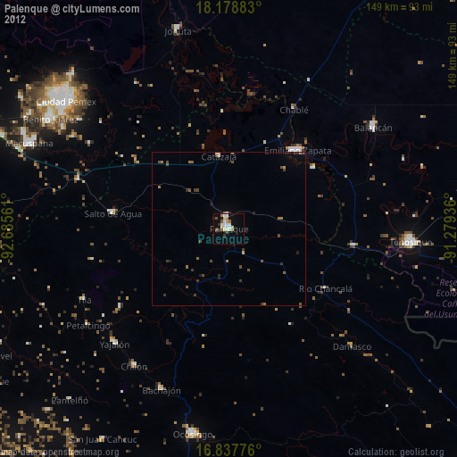
Palenque night lights from space
Night Light of Palenque (Chiapas) from space (Mexico) Src. Average luminocity for 10x10km area is 19.5227% and for 50x50km: 1.2755%.

Analysis of Palenque night lights 2016
Square area 10x10 km:
 1.24%
1.24%90-99
3.31%80-89
5.99%70-79
1.03%60-69
0.62%50-59
3.31%40-49
2.69%30-39
4.13%20-29
0.83%10-19
5.79%0-9
71.07%Square area 50x50 km:
0.06%90-99
0.22%80-89
0.28%70-79
0.04%60-69
0.03%50-59
0.21%40-49
0.32%30-39
0.28%20-29
0.15%10-19
0.28%0-9
98.13%Clear (daylight) street map image can be seen on geolist.org.
Map coordinates:
18° 10' 43.8" North, 92° 41' 8.2" West
17° 30' 34.3" North, 91° 58' 56.9" West
16° 50' 15.9" North, 91° 16' 45.7" West
Some cities around Palenque sort by population:
• Emiliano Zapata
34.4 km =21.4 mi,  41°
41°
• Yajalón
52.8 km =32.8 mi,  224°
224°
• Chilón
54.5 km =33.9 mi,  214°
214°
• Tila
52.6 km =32.7 mi,  243°
243°
• Petalcingo
55.6 km =34.5 mi, 235°
• Chilón
55.4 km =34.4 mi, 236°
• Salto de Agua
38.2 km =23.7 mi,  277°
277°
• Bachajón
56.7 km =35.2 mi,  202°
202°
3522164 (p: 42,947)
Sources (retrieved 2019-11-25):
» Earth at Night: Flat Maps 2012, 2016