El Triunfo night lights from space
Night Light of El Triunfo (Tabasco) from space (Mexico) Src. Average luminocity for 10x10km area is 3.2814% and for 50x50km: 0.5473%.
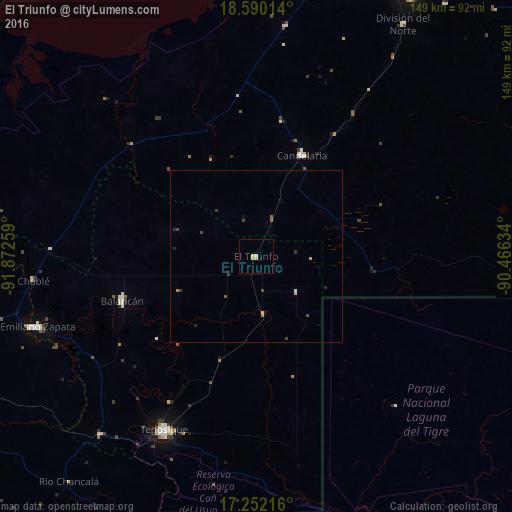
Analysis of El Triunfo night lights 2016
Square area 10x10 km:
 0%
0%90-99
0.22%80-89
2.38%70-79
0.87%60-69
0%50-59
0%40-49
0%30-39
0%20-29
0%10-19
0%0-9
96.54%Square area 50x50 km:
0%90-99
0.04%80-89
0.19%70-79
0.07%60-69
0.03%50-59
0.1%40-49
0.16%30-39
0.16%20-29
0.12%10-19
0.11%0-9
99.02%Clear (daylight) street map image can be seen on geolist.org.
Map coordinates:
18° 35' 24.5" North, 91° 52' 21.3" West
17° 55' 20.7" North, 91° 10' 10.1" West
17° 15' 7.8" North, 90° 27' 58.8" West
Some cities around El Triunfo sort by population:
• Palenque
97.6 km =60.6 mi,  241°
241°
• Tenosique
56.8 km =35.3 mi,  208°
208°
• Escárcega
88.5 km =55 mi,  30°
30°
• Emiliano Zapata
66.3 km =41.2 mi,  252°
252°
• San Carlos
41.2 km =25.6 mi,  177°
177°
• Balancán
40.9 km =25.4 mi, 252°
• Candelaria
32.1 km =19.9 mi,  24°
24°
• Isla Aguada
102 km =63.4 mi,  340°
340°
3514678 (p: 5,627)
Sources (retrieved 2019-11-25):
» Earth at Night: Flat Maps 2012, 2016