Allende night lights from space
Night Light of Allende (Coahuila) from space (Mexico) Src. Average luminocity for 10x10km area is 15.25% and for 50x50km: 2.6096%.
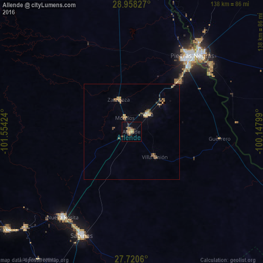
Analysis of Allende night lights 2016
Square area 10x10 km:
 0%
0%90-99
0%80-89
0.79%70-79
5.16%60-69
5.16%50-59
1.98%40-49
3.17%30-39
1.59%20-29
2.98%10-19
2.78%0-9
76.39%Square area 50x50 km:
0.03%90-99
0.09%80-89
0.41%70-79
0.5%60-69
0.66%50-59
0.53%40-49
0.41%30-39
0.37%20-29
0.27%10-19
0.28%0-9
96.46%Clear (daylight) street map image can be seen on geolist.org.
Map coordinates:
28° 57' 29.8" North, 101° 33' 15.3" West
28° 20' 28.5" North, 100° 51' 4" West
27° 43' 14.2" North, 100° 8' 52.8" West
Some cities around Allende sort by population:
• Piedras Negras
51.1 km =31.8 mi,  38°
38°
• Eagle Pass, US
53.4 km =33.2 mi, 40°
• Nava
12.2 km =7.6 mi, 43°
• Zaragoza
18.3 km =11.4 mi,  337°
337°
• Eidson Road, US
51.6 km =32.1 mi, 43°
• Morelos
8.2 km =5.1 mi,  333°
333°
• Villa Unión
18 km =11.2 mi,  137°
137°
• Villa Union
19.1 km =11.9 mi, 136°
4018761 (p: 20,694)
Sources (retrieved 2019-11-25):
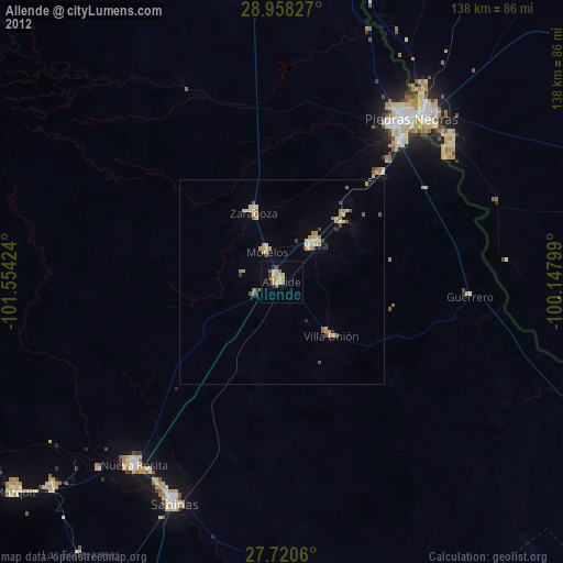
» Earth at Night: Flat Maps 2012, 2016