Acamixtla night lights from space
Night Light of Acamixtla (Guerrero) from space (Mexico) Src. Average luminocity for 10x10km area is 22.4504% and for 50x50km: 7.8124%.
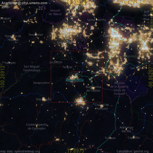
Analysis of Acamixtla night lights 2016
Square area 10x10 km:
 0.83%
0.83%90-99
1.65%80-89
4.13%70-79
2.89%60-69
4.34%50-59
3.72%40-49
4.34%30-39
5.17%20-29
6.4%10-19
14.88%0-9
51.65%Square area 50x50 km:
0.15%90-99
0.31%80-89
1.22%70-79
1.19%60-69
1.52%50-59
0.91%40-49
1.68%30-39
1.83%20-29
1.95%10-19
7.91%0-9
81.33%Clear (daylight) street map image can be seen on geolist.org.
Map coordinates:
19° 13' 49.2" North, 100° 16' 8.8" West
18° 33' 54.4" North, 99° 33' 57.6" West
17° 53' 50.3" North, 98° 51' 46.3" West
Some cities around Acamixtla sort by population:
• Iguala de la Independencia
24.6 km =15.3 mi,  173°
173°
• Taxco de Alarcón
4.4 km =2.7 mi,  254°
254°
• Puente de Ixtla
26.7 km =16.6 mi,  78°
78°
• La Joya
15.4 km =9.6 mi,  42°
42°
• Buenavista de Cuéllar
20.3 km =12.6 mi,  125°
125°
• Tlamacazapa
10.3 km =6.4 mi,  137°
137°
• Amacuzac
21 km =13 mi, 79°
• Pilcaya
23.2 km =14.4 mi,  330°
330°
3533473 (p: 5,301)
Sources (retrieved 2019-11-25):
» Earth at Night: Flat Maps 2012, 2016