Iguala de la Independencia night lights from space
Night Light of Iguala de la Independencia (Guerrero) from space (Mexico) Src. Average luminocity for 10x10km area is 42.814% and for 50x50km: 4.7914%.
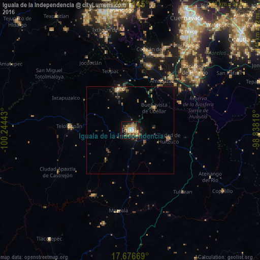
Analysis of Iguala de la Independencia night lights 2016
Square area 10x10 km:
 2.48%
2.48%90-99
3.51%80-89
8.68%70-79
10.54%60-69
13.02%50-59
2.89%40-49
7.44%30-39
5.99%20-29
7.02%10-19
31.82%0-9
6.61%Square area 50x50 km:
0.13%90-99
0.24%80-89
0.59%70-79
0.87%60-69
1.04%50-59
0.5%40-49
1.12%30-39
1.1%20-29
1.19%10-19
3.25%0-9
89.98%Clear (daylight) street map image can be seen on geolist.org.
Map coordinates:
19° 0' 41.2" North, 100° 14' 39.9" West
18° 20' 43.3" North, 99° 32' 28.7" West
17° 40' 36.1" North, 98° 50' 17.4" West
Some cities around Iguala de la Independencia sort by population:
• Taxco de Alarcón
24.2 km =15 mi,  343°
343°
• Teloloapan
35 km =21.7 mi,  273°
273°
• Ciudad de Huitzuco
22.4 km =13.9 mi,  102°
102°
• Buenavista de Cuéllar
18.9 km =11.7 mi,  47°
47°
• Tepecoacuilco de Trujano
10.4 km =6.5 mi,  128°
128°
• Tlamacazapa
17.3 km =10.7 mi,  14°
14°
• Amacuzac
33.5 km =20.8 mi,  32°
32°
• Acamixtla
24.6 km =15.3 mi,  353°
353°
3526798 (p: 118,468)
Sources (retrieved 2019-11-25):
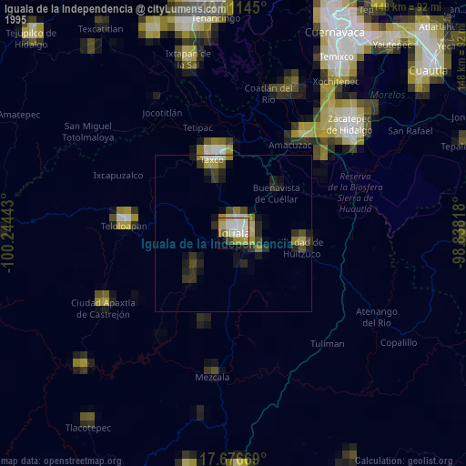
» NASA, Earths city lights 1995
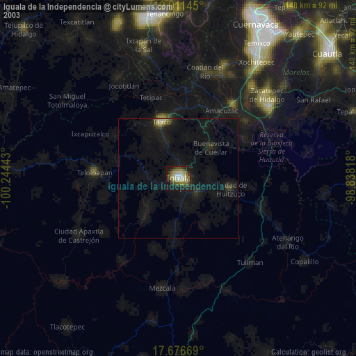
» NASA city lights 2003
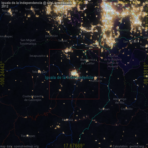
» Earth at Night: Flat Maps 2012, 2016