Eydhafushi night lights from space
Night Light of Eydhafushi (Baa Atholhu) from space (Maldives) Src. Average luminocity for 10x10km area is 0.0103% and for 50x50km: 0.0494%.
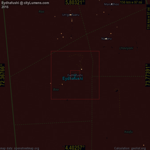
Analysis of Eydhafushi night lights 2016
Square area 10x10 km:
 0%
0%90-99
0%80-89
0%70-79
0%60-69
0%50-59
0%40-49
0%30-39
0%20-29
0%10-19
0%0-9
100%Square area 50x50 km:
0%90-99
0%80-89
0.03%70-79
0%60-69
0%50-59
0%40-49
0%30-39
0.03%20-29
0%10-19
0%0-9
99.93%Clear (daylight) street map image can be seen on geolist.org.
Map coordinates:
5° 48' 11.6" North, 72° 22' 3.6" East
5° 6' 11.8" North, 73° 4' 14.8" East
4° 24' 9.3" North, 73° 46' 26.1" East
Some cities around Eydhafushi sort by population:
• Male
114.1 km =70.9 mi,  154°
154°
• Kulhudhuffushi
168.9 km =104.9 mi,  359°
359°
• Naifaru
50 km =31.1 mi,  40°
40°
• Funadhoo
119 km =73.9 mi,  11°
11°
• Mahibadhoo
150.1 km =93.3 mi,  184°
184°
• Manadhoo
83 km =51.6 mi,  27°
27°
• Ugoofaaru
63 km =39.1 mi, 355°
• Felidhoo
188.9 km =117.4 mi,  163°
163°
1337606 (p: 2,808)
Sources (retrieved 2019-11-25):
» Earth at Night: Flat Maps 2012, 2016