Naifaru night lights from space
Night Light of Naifaru (Lhaviyani Atholhu) from space (Maldives) Src. Average luminocity for 10x10km area is 1.8017% and for 50x50km: 0.1055%.
Analysis of Naifaru night lights 2016
Square area 10x10 km:
 0%
0%90-99
0.21%80-89
1.45%70-79
0%60-69
0.21%50-59
0.21%40-49
0%30-39
0%20-29
0%10-19
0%0-9
97.93%Square area 50x50 km:
0%90-99
0.01%80-89
0.06%70-79
0%60-69
0.01%50-59
0.03%40-49
0%30-39
0%20-29
0.07%10-19
0%0-9
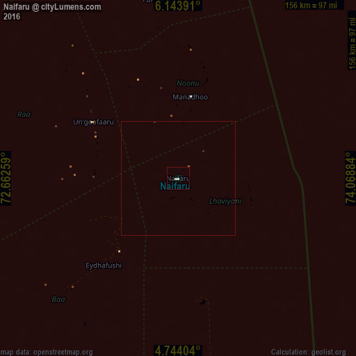
99.83%Clear (daylight) street map image can be seen on geolist.org.
Map coordinates:
6° 8' 38.1" North, 72° 39' 45.3" East
5° 26' 39.8" North, 73° 21' 56.6" East
4° 44' 38.5" North, 74° 4' 7.8" East
Some cities around Naifaru sort by population:
• Male
142 km =88.2 mi,  173°
173°
• Kulhudhuffushi
135 km =83.9 mi,  345°
345°
• Dhidhdhoo
162.8 km =101.2 mi, 350°
• Funadhoo
79 km =49.1 mi, 353°
• Eydhafushi
50 km =31.1 mi,  220°
220°
• Mahibadhoo
192.7 km =119.7 mi,  193°
193°
• Manadhoo
36.2 km =22.5 mi,  8°
8°
• Ugoofaaru
44.7 km =27.8 mi,  303°
303°
1337616 (p: 5,044)
Sources (retrieved 2019-11-25):
» Earth at Night: Flat Maps 2012, 2016