Tidjikja night lights from space
Night Light of Tidjikja (Tagant) from space (Mauritania) Src. Average luminocity for 10x10km area is 0% and for 50x50km: 0%.
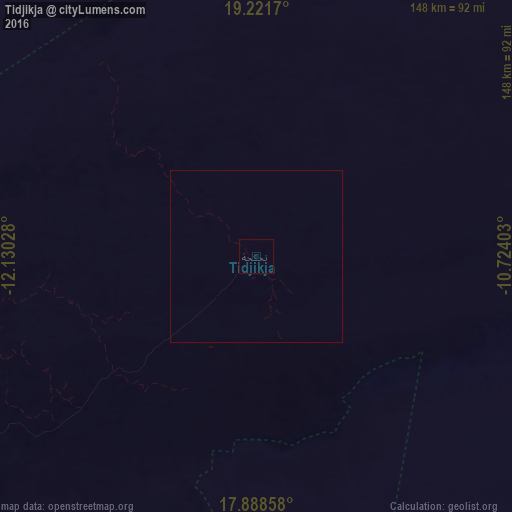
Analysis of Tidjikja night lights 2016
Square area 10x10 km:
 0%
0%90-99
0%80-89
0%70-79
0%60-69
0%50-59
0%40-49
0%30-39
0%20-29
0%10-19
0%0-9
100%Square area 50x50 km:
0%90-99
0%80-89
0%70-79
0%60-69
0%50-59
0%40-49
0%30-39
0%20-29
0%10-19
0%0-9
100%Clear (daylight) street map image can be seen on geolist.org.
Map coordinates:
19° 13' 18.1" North, 12° 7' 49" West
18° 33' 23.2" North, 11° 25' 37.7" West
17° 53' 18.9" North, 10° 43' 26.5" West
Some cities around Tidjikja sort by population:
• Kaédi
346.6 km =215.4 mi,  219°
219°
• Kiffa
215.2 km =133.7 mi,  179°
179°
• Atar
276.4 km =171.7 mi,  322°
322°
• Matam, SN
376.5 km =233.9 mi,  211°
211°
• Aleg
311.8 km =193.7 mi,  237°
237°
• Aioun
285.1 km =177.2 mi,  137°
137°
• Akjoujt
337.7 km =209.8 mi,  293°
293°
• Goléré, SN
382 km =237.4 mi,  227°
227°
2376193 (p: 6,000)
Sources (retrieved 2019-11-25):
» Earth at Night: Flat Maps 2012, 2016