Akjoujt night lights from space
Night Light of Akjoujt (Inchiri) from space (Mauritania) Src. Average luminocity for 10x10km area is 5.4628% and for 50x50km: 0.2487%.
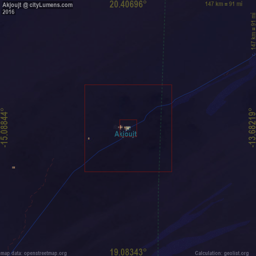
Analysis of Akjoujt night lights 2016
Square area 10x10 km:
 0%
0%90-99
0%80-89
0.41%70-79
0.41%60-69
1.03%50-59
1.86%40-49
4.13%30-39
1.24%20-29
0.83%10-19
0.83%0-9
89.26%Square area 50x50 km:
0%90-99
0%80-89
0.02%70-79
0.02%60-69
0.04%50-59
0.07%40-49
0.19%30-39
0.08%20-29
0.03%10-19
0.03%0-9
99.51%Clear (daylight) street map image can be seen on geolist.org.
Map coordinates:
20° 24' 25.1" North, 15° 5' 18.4" West
19° 44' 47.7" North, 14° 23' 7.1" West
19° 5' 0.3" North, 13° 40' 55.9" West
Some cities around Akjoujt sort by population:
• Nouakchott
249.4 km =155 mi,  222°
222°
• Nouadhibou
306.9 km =190.7 mi,  295°
295°
• Atar
163.8 km =101.8 mi,  58°
58°
• Aleg
303.6 km =188.6 mi,  170°
170°
• Tidjikja
337.7 km =209.8 mi,  113°
113°
• Arafat
252.2 km =156.7 mi, 221°
• Tevragh Zeina
249 km =154.7 mi, 222°
• Dar Naim
243.9 km =151.6 mi, 221°
2381690 (p: 11,500)
Sources (retrieved 2019-11-25):
» Earth at Night: Flat Maps 2012, 2016