Atar night lights from space
Night Light of Atar (Adrar) from space (Mauritania) Src. Average luminocity for 10x10km area is 4.0701% and for 50x50km: 0.1717%.
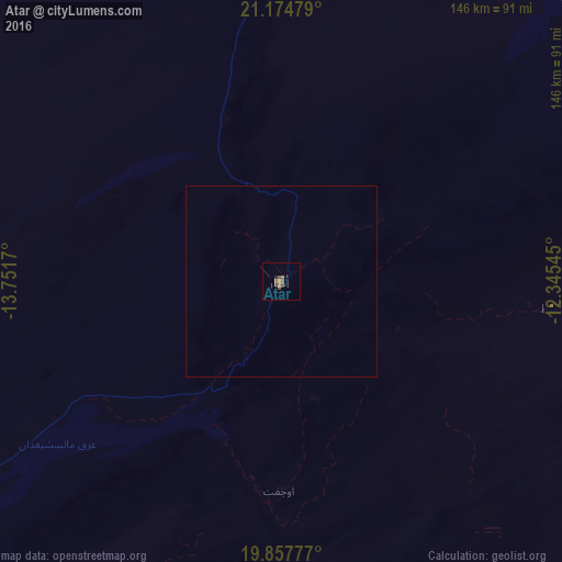
Analysis of Atar night lights 2016
Square area 10x10 km:
 0%
0%90-99
0%80-89
0%70-79
0.19%60-69
1.33%50-59
2.27%40-49
2.46%30-39
0.57%20-29
0.38%10-19
0.38%0-9
92.42%Square area 50x50 km:
0%90-99
0%80-89
0%70-79
0.01%60-69
0.06%50-59
0.1%40-49
0.1%30-39
0.02%20-29
0.02%10-19
0.02%0-9
99.68%Clear (daylight) street map image can be seen on geolist.org.
Map coordinates:
21° 10' 29.2" North, 13° 45' 6.1" West
20° 31' 3.7" North, 13° 2' 54.9" West
19° 51' 28" North, 12° 20' 43.6" West
Some cities around Atar sort by population:
• Nouakchott
409.4 km =254.4 mi,  228°
228°
• Zouerate
253.7 km =157.6 mi,  13°
13°
• Aleg
395.8 km =245.9 mi,  193°
193°
• Akjoujt
163.8 km =101.8 mi,  238°
238°
• Tidjikja
276.4 km =171.7 mi,  142°
142°
• Arafat
411.8 km =255.9 mi, 228°
• Tevragh Zeina
409.2 km =254.3 mi, 228°
• Dar Naim
403.7 km =250.8 mi, 228°
2381334 (p: 24,021)
Sources (retrieved 2019-11-25):
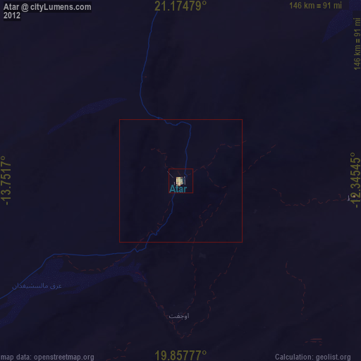
» Earth at Night: Flat Maps 2012, 2016