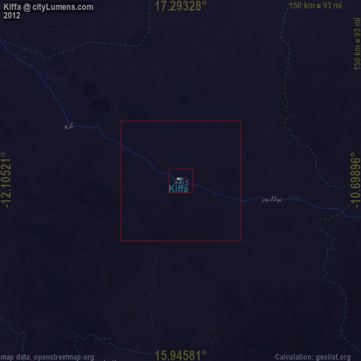
Kiffa night lights from space
Night Light of Kiffa (Assaba) from space (Mauritania) Src. Average luminocity for 10x10km area is 1.039% and for 50x50km: 0.0401%.
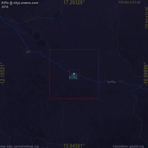
Analysis of Kiffa night lights 2016
Square area 10x10 km:
 0%
0%90-99
0%80-89
0%70-79
0%60-69
0.87%50-59
0%40-49
0.87%30-39
0%20-29
0%10-19
0%0-9
98.27%Square area 50x50 km:
0%90-99
0%80-89
0%70-79
0%60-69
0.03%50-59
0%40-49
0.03%30-39
0%20-29
0%10-19
0%0-9
99.93%Clear (daylight) street map image can be seen on geolist.org.
Map coordinates:
17° 17' 35.8" North, 12° 6' 18.8" West
16° 37' 14.6" North, 11° 24' 7.5" West
15° 56' 44.9" North, 10° 41' 56.3" West
Some cities around Kiffa sort by population:
• Sélibaby
182.8 km =113.6 mi,  207°
207°
• Matam, SN
225.2 km =139.9 mi,  241°
241°
• Aioun
190.4 km =118.3 mi,  88°
88°
• Kanel, SN
227.4 km =141.3 mi, 236°
• Waoundé, SN
217.6 km =135.2 mi,  226°
226°
• Diawara, SN
215.7 km =134 mi, 214°
• Tidjikja
215.2 km =133.7 mi,  359°
359°
• Sémé, SN
228.8 km =142.2 mi, 226°
2378538 (p: 40,281)
Sources (retrieved 2019-11-25):
» Earth at Night: Flat Maps 2012, 2016